How to Hike the Corona Arch Trail in Moab
The Corona Arch trail is an awesome short, dog-friendly hike right outside Moab leading to a huge arch. Get the full guide here.
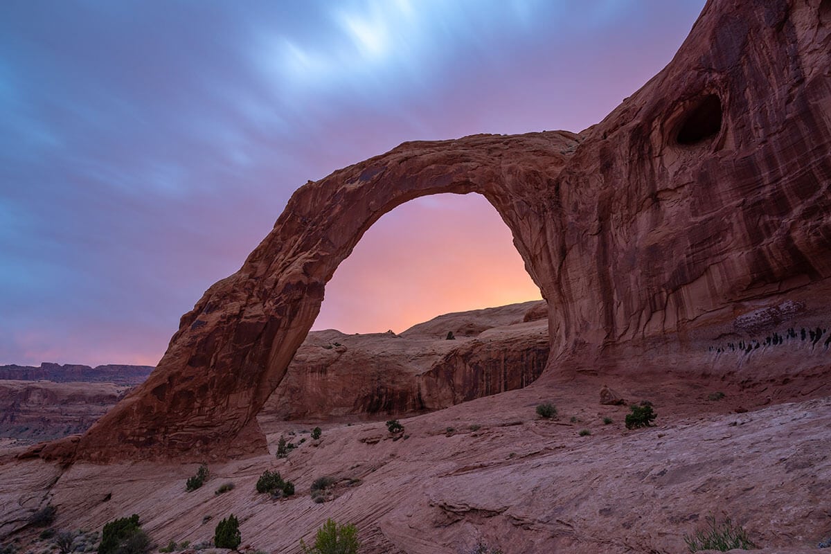
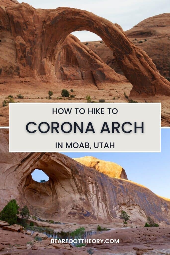
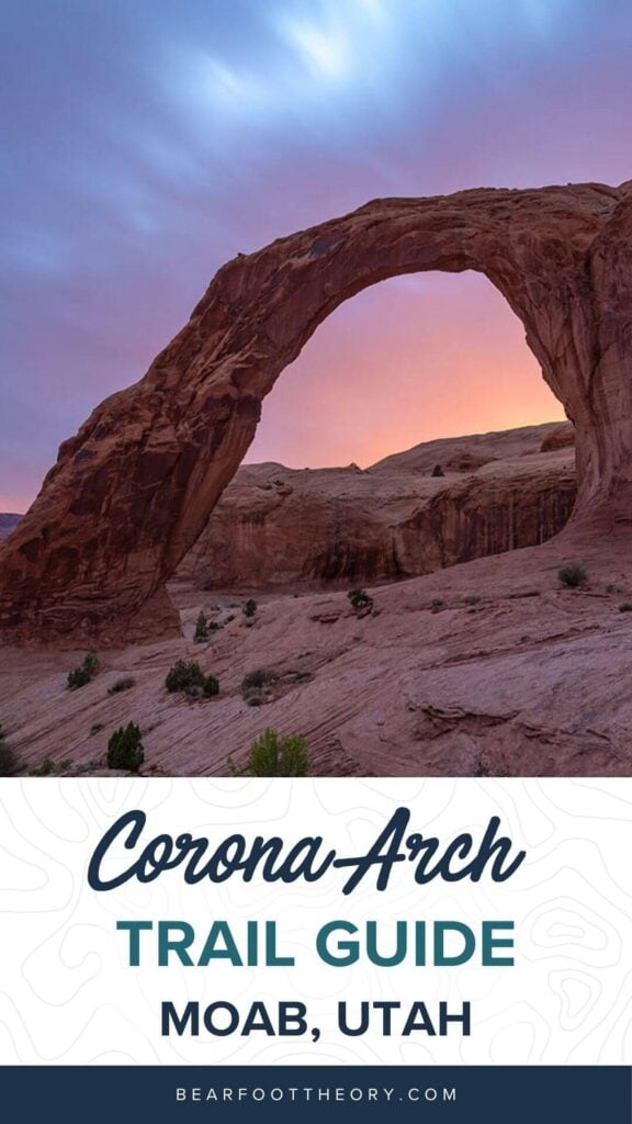
One of my favorite things to do around Moab, Utah is to hike up to Corona Arch. It’s a fairly easy hike, requires very little planning, is dog-friendly, and the climax is a huge natural sandstone arch that rivals anything in nearby Arches National Park.
Whether you’re looking to beat the crowds, bring your pup, or simply experience Southern Utah’s red rock landscapes, hiking the Corona Arch trail is absolutely worth it. In this post, I share all the details you need to know to have a great hike.
Corona Arch Trail Overview
- Length: 3 miles roundtrip
- Trail type: Out and Back
- Elevation gain: 440 ft
- Difficulty: Moderate
- Dogs Allowed: Yes
- Permits/Fees: None
The Corona Arch trail is a short, dog-friendly hike on BLM land.
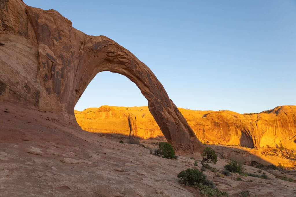
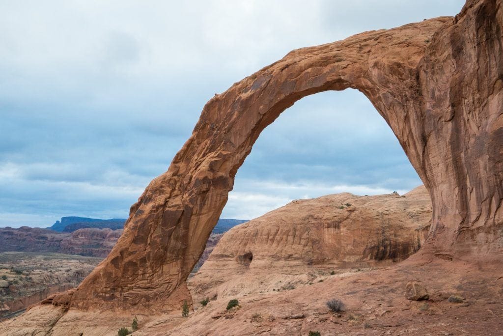
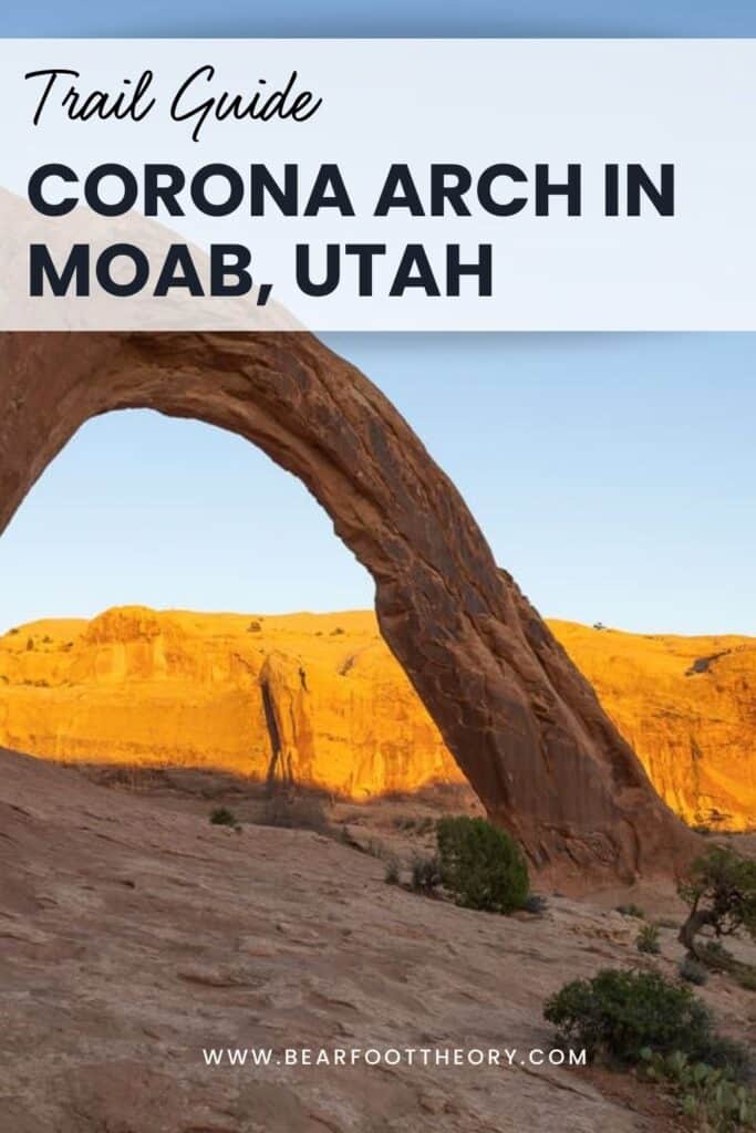
Commonly referred to as the “Little Rainbow Bridge,” Corona Arch is stunning with its 140 ft x 105 ft opening. The Corona Arch hike travels through some beautiful red rock landscapes with the opportunity to see two other arches along the way, giving you a great taste of what Southern Utah is all about.
What’s nice is that the trip to get out to Corona Arch only requires a 3-mile round trip hike and doesn’t require any sort of permit like other iconic Utah trails – like the Wave. You can also bring your dog, which you can’t on trails in nearby Arches National Park. It’s also free to hike if you are trying to avoid Arch’s entrance fees or crowds.
If you are in Moab, this trail is a great option for a quick hike that can be knocked off your list in an morning or an afternoon.
This post may contain affiliate links.
Best Time To Hike to Corona Arch
The best time of year to hike to Corona Arch or anywhere near Moab for that matter is fall, winter, or spring. Summer is unbearably hot and dry and temps often top 100 degrees F.
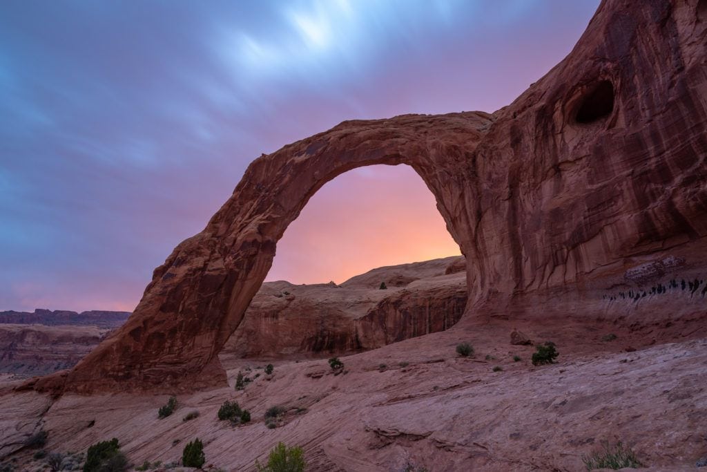
There is no shade along the hike, so in the hotter months, you’ll want to hit the trail in the very early morning or early evening to avoid the heat of the day. The bonus of that, though, is sunrise and sunset are beautiful times to photograph Corona Arch. During those times, you’ll also be most likely to beat the crowds.
When I hiked to Corona Arch on a mid-week afternoon in January, we had the trail almost all to ourselves.
Linda, BFT’s Director, hiked the trail mid-week in late September and only saw two other people. It was a hot day (in the 90s) but hiking in the early evening made it bearable and the sunset light was beautiful.
Save this post!
Enter your email & I'll send this post to your inbox! You'll also receive my weekly newsletter full of helpful advice for planning your adventures.
How to Get to the Trailhead
The Corona Arch trailhead is located less than 20 minutes from Moab, making it a super easy hike to get to from town.
The drive through Bootlegger Canyon where the trailhead is located is scenic and takes you along the Colorado River.
Here are directions coming from Moab:
- Head 4 miles North on HWY 191 towards Potash Road (State Road 279)
- Turn left on Potash Road and head west for 10 miles down Potash Road
- You’ll see a sign marked “Corona Arch Trailhead” on the right
- Turn right into the parking lot and you’ll see a kiosk with information
What to Bring on your Corona Arch Hike
There is no water or restrooms at the trailhead so come prepared and ready to go. Be sure to bring a hiking daypack with water, snacks, and any hiking essentials you might need. Because there is no shade on this hike, you’ll want to dress properly for a desert hike by covering up your skin and wearing sunscreen.
The Corona Arch Hike
From the trailhead, you’ll hike east uphill for a bit until you arrive at a set of railroad tracks. Cross the railroad tracks to continue on the trail.
The great thing about this trail is it is mostly easy to follow. If at any time the trail becomes less obvious there are rock cairns and markers along the trail.
Keep an eye out for green paint markings on the slickrock that lead the way.
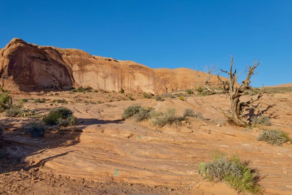
After about 10-15 minutes of hiking, you’ll see a trail that breaks off to the left to go to Pinto Arch. If you’ve got time for a side hike and want to see another arch, heading out to Pinto Arch will add about a mile to your 3-mile roundtrip hike to Corona Arch.
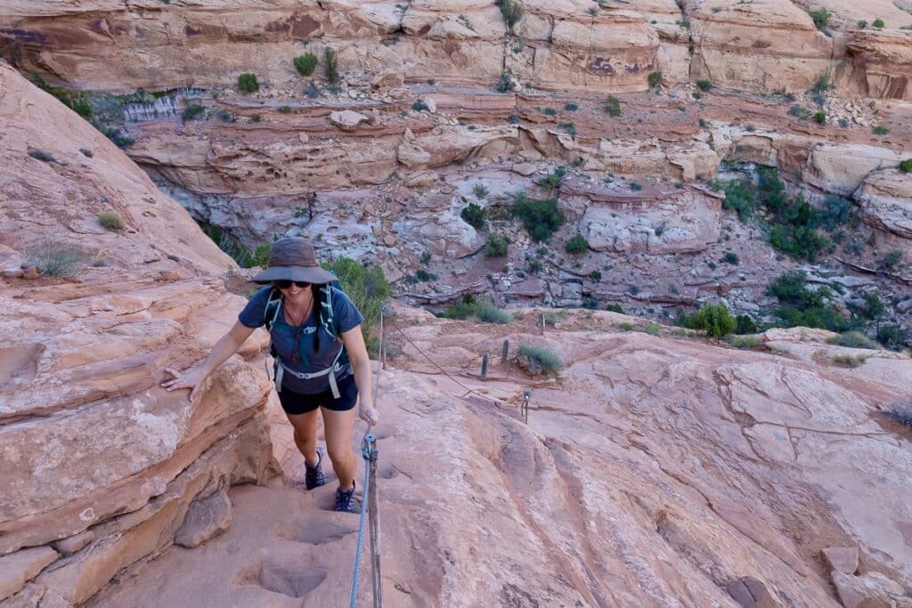
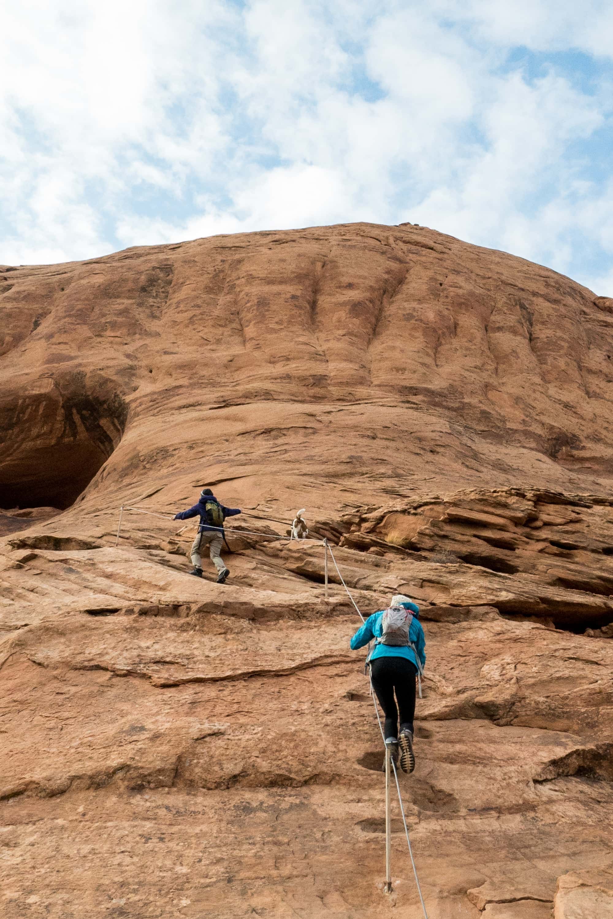
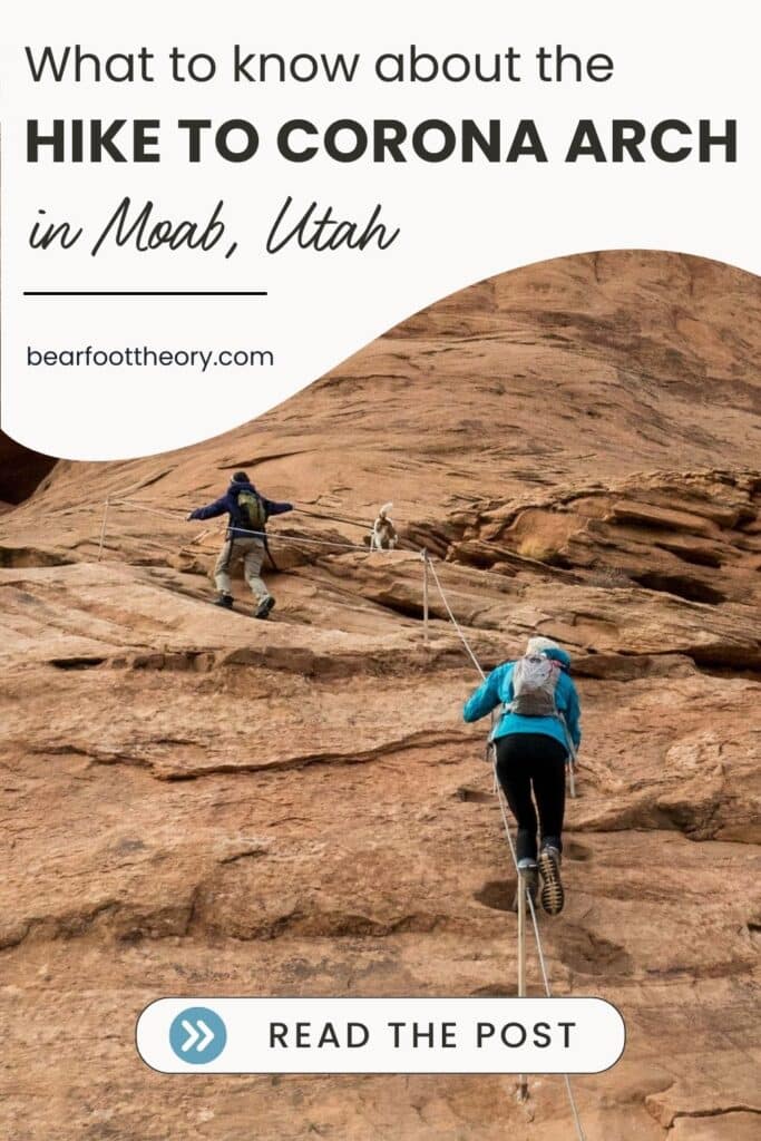
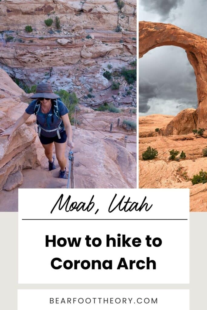
After another 10-15 minutes of hiking, you’ll reach a short steep section with a set of safety cables that you can use to help maintain your balance and pull you up the slickrock. It sounds a lot more difficult than it is. There are notches or steps in the slickrock that make it easy to climb up, and the safety cables add an extra layer of support.
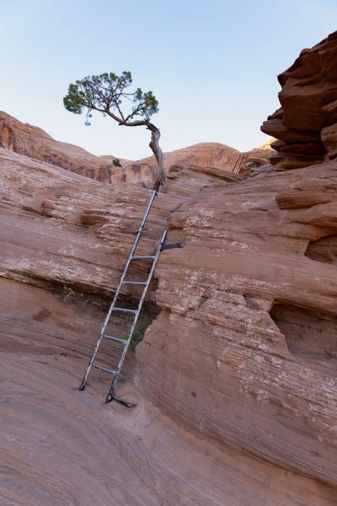
After you get up this section, you’ll have to climb a small 4-foot ladder.
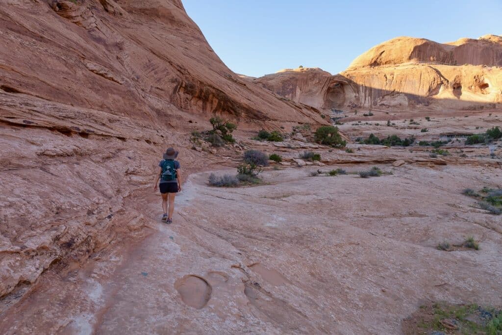
After that, Corona Arch will be in plain view across the way. Hug the sandstone with the cliff on your left to make your way around to the arch.
First, you’ll pass under Bowtie Arch, a pothole-type arch that is high on the cliff above the trail.
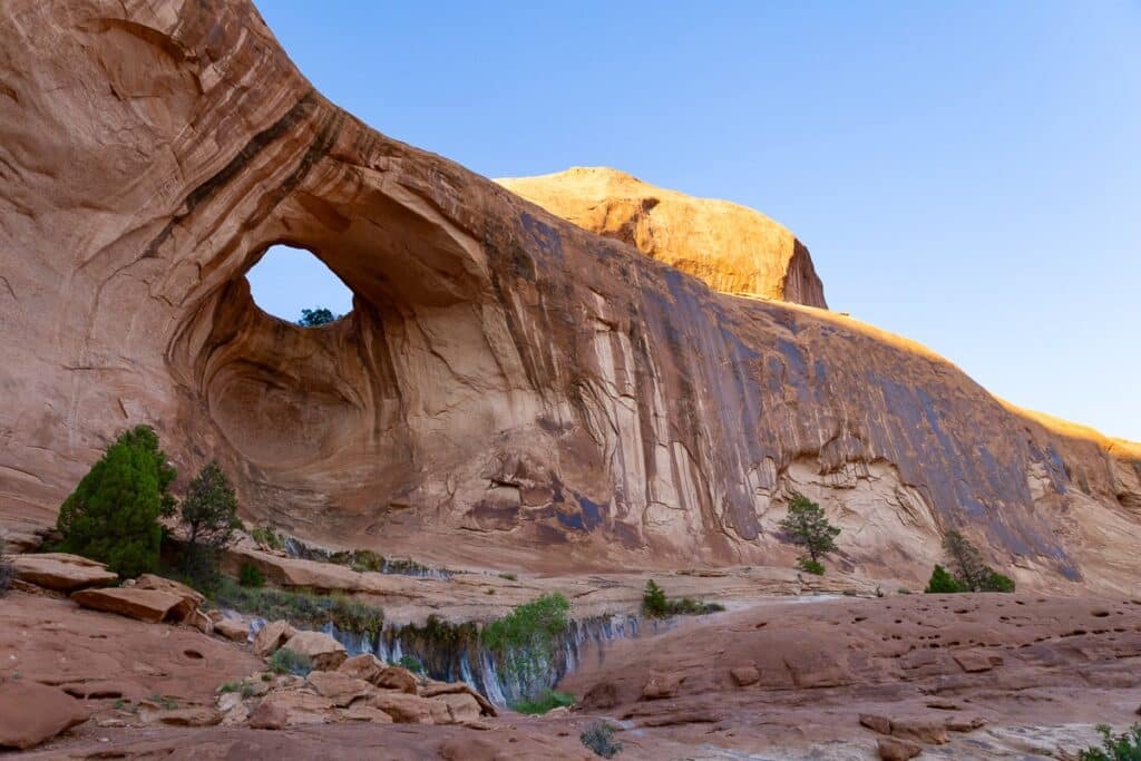
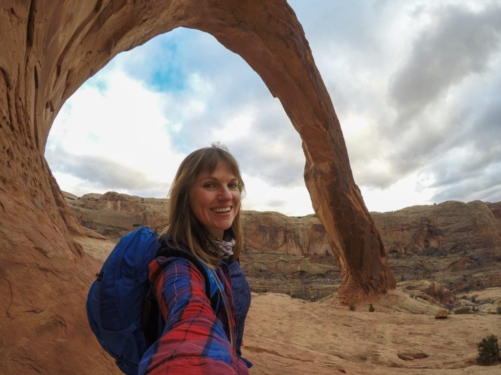
Shortly after, you’ll arrive at your final destination, Corona Arch!
Make sure to walk all the way underneath it and through to the other side, where you’ll get the best views of the landscape through the arch.
Looking for more to do near Moab? Check out our Local’s Guide to Moab for tips and more adventure suggestions.
Where to Camp Near Corona Arch
Gold Bar Campground is just across the road from the trailhead and offers campsites along the Colorado River.
Campsites are available are on a first come, first serve basis and are only $10 a night.
Our guide to Where to Camp Near Moab has more recommendations in the area. You can also check out our Guide to Finding Free Campsites for tips on how to find dispersed spots around Moab.
Save this post to Pinterest
READ NEXT
Looking for more adventures around Moab and Utah? Check out these blog posts to plan your trip:
Do you have any questions about hiking Corona Arch or have you done this hike? Leave a comment below!

Thank you so much for this wonderful suggestion!! I’m so happy we found your blog while we were on vacation. The line to get into Arches was about an hour long. We didn’t want to wait or fight crowds. Part of what I love about being in the great outdoors is the quiet – listening to nature – the wind, water, animals. We knew we wanted somewhere more secluded, but hiking with 3 children leaves many remote places out of the question because they are too difficult. This was the PERFECT hike. We were literally the ONLY people on the trail when we went. The kids LOVED that it was not only a hike, but a little bit of a scavenger hunt, too with finding the cairns to track. We loved the freedom to explore that this trail provides. And the arch at the end was magnificent. Thank you!!
Thank you, very interesting. I’ll be hiking Corona Trail in two weeks. You description and pictures are very helpful. One can’t count on cairns anymore because people build them for fun everywhere. Some hikers to Corona Arch showed on their video there were hundreds of them. It looked like a jungle.
Hello, this looks like a fun trail! Your post mentions that the trail is dog friendly, and shows a photo with a dog on the trail. I have to ask, since I travel with two dogs, how do you get them up the ladder?! Thank-you!
We just lifted ours up. The ladders are short, and our dogs are pretty agile.