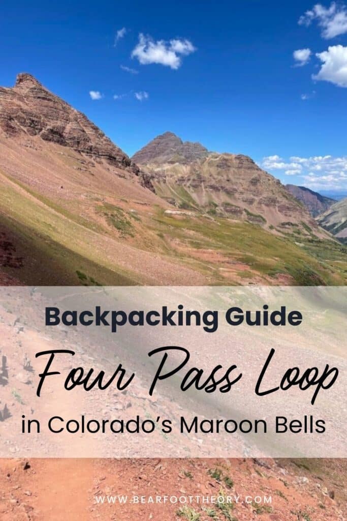
Backpacking the Four Pass Loop in Colorado’s Maroon Bells: Permits, Itineraries, And More!
Plan a backpacking trip on the Four Pass Loop in the Maroon Bells with this guide to obtaining overnight permits, gear, & more.

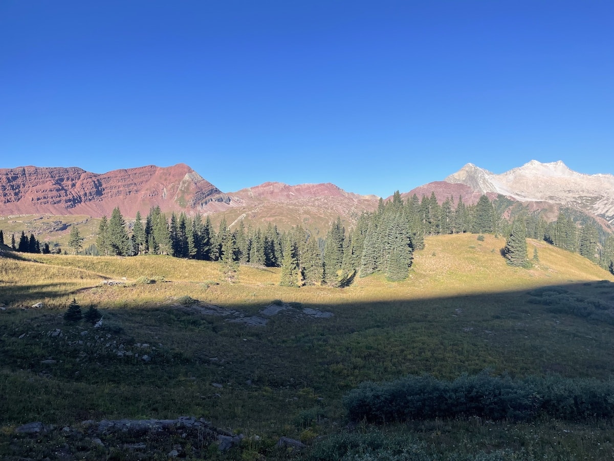
When you search on Google for images of Colorado, many of those breathtaking, iconic photos of mountain peaks surrounded by alpine lakes and wildflowers are of the Maroon Bells near Aspen. It is no wonder that many people wish to experience this magic for themselves, making the Four Pass Loop one of the most popular Colorado hiking trails.
The famous Four Pass Loop trail spans 26 miles. As the name implies, this circuit includes four mountain passes (West Maroon – 12,500 feet; Frigid Air – 12,415 feet; Trail Rider -12,420 feet; Buckskin – 12,500 feet). Due to the high elevation and rocky terrain, this route is considered challenging.
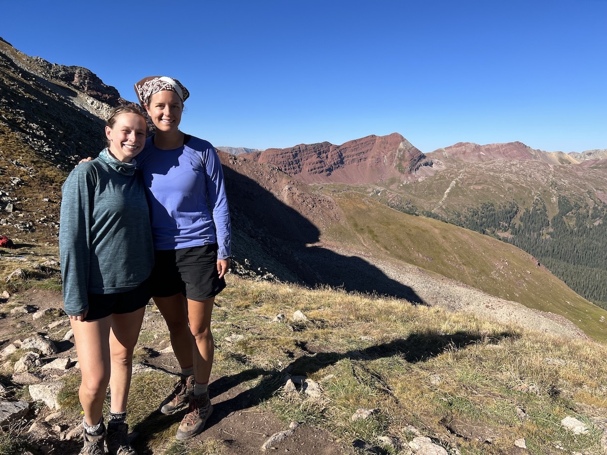
As someone who had previously tried backpacking only once before, I knew this would be an ambitious adventure for my first multi-night backpacking trip. However, I had lived and hiked in Colorado for five years, so I eagerly accepted my friend’s invitation to push my limits and accompany her on this 3-day excursion.
The Four Pass Loop trail remains one of my most treasured Colorado hiking experiences. It is the perfect backpacking trip for anyone who is looking for scenic views and is willing to challenge themselves. In this post, I share everything you need to know about hiking the iconic Four Pass Loop.
This post may contain affiliate links.
Four Pass Loop Stats & FAQs
The Four Pass Loop is how it sounds – a loop trail where you summit four mountain passes above 12,000 feet. It is in the Maroon Bells-Snowmass Wilderness near Crested Butte and Aspen, Colorado.
Trail Basics
How long is the Four Pass Loop trail?
While there is some discrepancy on the exact distance, the Four Pass Loop is about 26 miles, with some saying slightly more or less. There are multiple starting and ending points, but many hikers begin and end their hike at the Maroon Scenic Area on the Aspen side.
How long does it take to hike the Four Pass Loop?
I chose to do it in 3 days, but I recommend 4 days. The most common itineraries are 3 days/2 nights or 4 days/3 nights. I chose to do it in 3 days, but I recommend 4 days as explained further below.
It largely depends on your physical fitness, how much time your schedule allows, your desire to add on optional excursions to Geneva Lake and Willow Lake, and the type of experience you would like to have.
How difficult is the Four Pass Loop trail?
The Four Pass Loop is considered a challenging hike. There are steep switchbacks to climb and descend on the mountain passes and a total of 7,752 feet in elevation gain.
With most of the Maroon Bells Four Pass Loop being over 10,000 feet, you also want to give yourself plenty of time to adjust to the high elevation. Make sure you know the signs of altitude sickness and have a plan in case you or someone in your group experiences this.
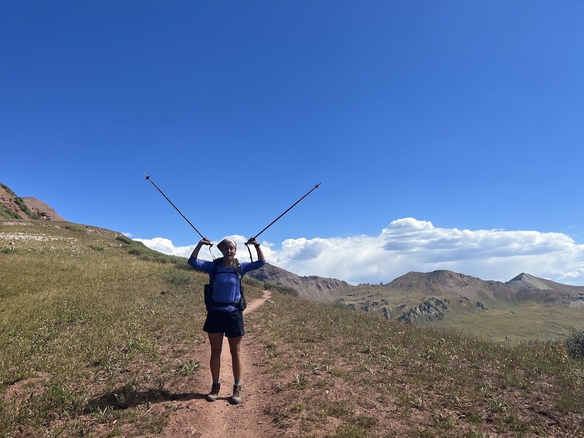
There are also long stretches of sun exposure, so remember to bring sun protection.
The experience and the views are certainly worth it, though! Just know your physical capabilities and adequately prepare for this trip.
Is the Four Pass Loop remote?
It is considered a remote wilderness backpacking trip. However, the Four Pass Loop trail is popular among hikers and trail runners, so you are bound to encounter other people.
The weather is unpredictable and quickly changes at high elevations. Be sure to pack for all conditions.
Are there bears on the Four Pass Loop?
The trail is in black bear country. As a result, you must use a bear canister or Ursack. To protect people and bears, anyone camping without an approved bear-resistant container will receive a ticket and be required to leave.
Is the Four Pass Loop well-marked?
Yes, the Four Pass Loop is well-marked, but it is still possible to get lost in the wilderness, especially in snowy conditions.
I recommend bringing a compass and a copy of the Four Pass Loop map. You should also make sure you’re familiar with how to read a topo map and basic wilderness navigation techniques.
What direction should I hike the Four Pass Loop?
If you begin at the Maroon Scenic Area (as I recommend), you will hike for about 1.5 miles from the parking lot/shuttle drop-off area before you reach the fork in the trail to hike the loop clockwise or counterclockwise.
I decided to hike the Four Pass Loop clockwise from the Maroon Scenic Area and recommend going this way. The views get better each day, and the view of Snowmass Lake as you descend Trail Rider Pass is incredible.
If you complete this trip in 3 days, you will also get to knock out two mountain passes on the first day, making the other two days a little more manageable.
Both directions are equally challenging, and the total elevation gain/loss is nearly identical. If you find the incline uphill more difficult, clockwise is slightly easier.
The elevation gain for West Maroon Pass is less intense than the elevation gain for Buckskin Pass if you were to go counterclockwise. However, if the descent is hard on your knees, you may want to consider going counterclockwise for that same reason.
Do I need hiking permits for the Four Pass Loop?
As of 2023, you must purchase Maroon Bells-Snowmass Wilderness Overnight Permits on Recreation.gov to spend the night on the trail. You must reserve these ahead of time and print them to bring with you on your trip, as you cannot purchase permits at the ranger station.
Before your trip, you will need to decide which direction you will go (clockwise vs. counterclockwise), plan your itinerary ahead of time (see the next section), determine where you will camp each night of your trip within the designated areas in the overnight permit zone, and reserve your permits accordingly.
You also must reserve a parking permit or shuttle transportation from the Aspen Highlands parking garage.

How many people can I bring with me on my permit?
Most of the Four Pass Loop campsite permits for each zone are only for groups with 1-4 people. A select number of large group permits of 5-10 people are available for Crater, Maroon, Snowmass Lake, and North Fork.
If you cannot secure a large group site, you will need to have someone else from your group try to reserve a second permit (and camp at a different site) if you plan on going with a group of more than four people.
What is the water availability on the Four Pass Loop?
There are numerous small creeks and springs along the trail for filling your water; however, you must bring a water filtration system to purify your water before drinking.
I recommend filtering your water at your campsite with a water filtration system to have 3-4 liters of water in a reservoir at all times.
Since the availability of some water sources can vary depending on the season and conditions, read recent reports before your trip to plan your water refill stops.
Sections without water

Save this post!
Enter your email & I'll send this post to your inbox! You'll also receive my weekly newsletter full of helpful advice for planning your adventures.
Best time of year to hike the Four Pass Loop
Although permits are issued and required year-round, the best time to hike the Four Pass Loop trail and visit the Maroon Bells-Snowmass Wilderness is July through September for the best weather conditions. I completed the loop in early September and had perfect conditions (sunny skies, not too hot or cold).
While there is a risk of summer thunderstorms with the majority of the hike being above treeline, I recommend planning your trip in July, August, or September for personal safety and the best chance of pleasant backpacking conditions.
Since the overnight wilderness permits are good for 7 nights, you could always adjust your trip slightly based on the forecast as needed.
Snow dangers
Since this trail sits at such a high altitude in the Rocky Mountains, the rest of the year presents unique risks. The Four Pass Loop trail, including campsites and mountain passes, tends to be covered in snow from the beginning of October through the end of June.

Four Pass Loop Itinerary Options
Backpacking the Four Pass Loop requires a fair amount of preparation. You must obtain overnight campsite permits for each night of your trip, make a parking or shuttle reservation, and pack the necessary gear.
I will dive into everything you need to know about planning your Four Pass Loop backpacking trip below.
Where to start the Four Pass Loop
Before you select an itinerary, you must decide if it makes more sense for you to start the loop in Crested Butte or Aspen. There are a few key differences if you decide to start in Crested Butte versus Aspen.
If you park at the East Fork trailhead in Crested Butte, you do not need a parking permit or shuttle reservation. However, starting in Crested Butte adds an additional 3 miles total to the loop.
To park in Crested Butte, you will need to drive up a rough dirt road. You will also miss out on seeing Maroon Lake in the Maroon Scenic Area (unless you take a detour and add on another 3 miles).
On years with heavy snowfall, the Crested Butte lot isn’t accessible until the last week of July or August. If you are driving from Denver, it is more convenient to start the hike in Aspen, as it will save you two hours of driving time.
From Salt Lake City, the East Fork trailhead in Crested Butte is only 20 more minutes of driving time than the Aspen Highlands starting point, making both options equally convenient. The only reason I might recommend starting in Crested Butte rather than Aspen is so you do not have to pay for a parking permit or shuttle.
Choosing an itinerary
Before you purchase your overnight wilderness camping permits, you need to decide where you will begin your trip (Aspen/Maroon Scenic Area or Crested Butte/East Fork), which direction you will travel through the loop (clockwise or counterclockwise), and how many nights you intend to stay.
Most people complete the Four Pass Loop in 3-4 days. Due to schedule restrictions, I had to complete the loop in 3 days, resulting in long days of hiking with little time for relaxing or adding optional extensions.
If I were to do this hike again, I would follow the 4-day itinerary. This allows you to hike at a leisurely pace, hike one mountain pass per day, and account for any unexpected afternoon thunderstorms.
Here are four different Four Pass Loop itineraries, two for going clockwise from Aspen/Maroon Scenic Area, and two for going counterclockwise from Crested Butte/East Fork.
3-day itinerary (starting in Aspen; clockwise)
This is the itinerary I followed.
4-day itinerary (starting in Aspen; clockwise)
3-day itinerary (starting in Crested Butte; counterclockwise)
4-day itinerary (starting in Crested Butte; counterclockwise)

Day hikes and overnight options
If you want to experience the Maroon Bells Four Pass Loop but don’t have time to do the whole thing, here are a few alternative options.
Navigating the Four Pass Loop Trail
The Four Pass Loop trail is well-marked, and if you plan your trip between July to September, you will see plenty of people along the trail. It is a popular trail for day hikes, backpacking trips, and trail runs.
However, I recommend bringing a hard copy of a map of the area and a compass. I have heard stories of people accidentally wandering off the trail and ending up on the cliff face of a mountain pass.
You can purchase a Colorado Maroon Bells-Snowmass Wilderness Map. This map also notes water sources along the route so you can plan where you will fill/filter your water while hiking.
Maroon Bells-Snowmass Wilderness Overnight Permits
As of 2023, you must obtain wilderness permits to camp overnight on the Four Pass Loop. You must plan your trip to ensure you reserve the correct permits.
Four Pass Loop permits FAQ
7 campsite permit zones
The Four Pass Loop campsites are divided into seven zones as follows. They are listed below in the order you encounter them when hiking clockwise from Aspen.

Important Permit Dates
These are the permit release dates for 2024.
Four Pass Loop Parking and Shuttle Reservations
In addition to advanced preparation for the camping permits, you must figure out your parking situation ahead of time. Since you can start the hike in either Aspen via the Maroon Scenic Area or Crested Butte via East Fork, I have included the parking information for each.
Aspen/Maroon Scenic Area
The Maroon Scenic Area is the most popular spot for starting the Four Pass Loop trail. If you plan to begin/end your backpacking trip here between May 15-October 31, you must reserve either a parking or shuttle reservation, or arrange a drop off.
If you have additional questions about Maroon Bells parking and shuttle reservations, call 970-930-6442 or email info@visitmaroonbells.com.

Parking at Maroon Scenic Area
The price to park is $10/vehicle. Except for the evening parking time mentioned below, you must plan to arrive before 8:00 AM on the day of your parking reservation between May 26-October 22.
There are four different parking times you can reserve depending on if you are hiking the entire loop, the length of your day hike, and the time of day you want to visit.
Drop offs at Maroon Scenic Area
You might consider having someone drop you off in the Maroon Scenic Area if you are doing a day hike from Aspen to Crested Butte on the West Maroon Trail.
You may have a private vehicle drop you off between 6:00 AM to 8:00 AM without a parking reservation. Commercial drop offs are not allowed.
Shuttle to Maroon Scenic Area
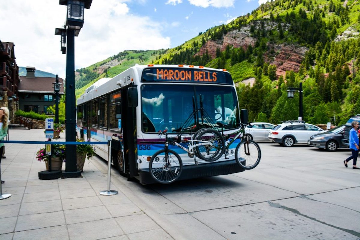
When I backpacked the Four Pass Loop, I took the shuttle. Here are some important things to note about the shuttle.
Helpful Tip
Free parking for the shuttle
If taking the shuttle, you can park for free at the Brush Creek Park & Ride in Aspen. There is a free shuttle service from here to Aspen Highlands. I did not know I could do this for my trip and paid $40/day to park my vehicle at the Aspen Highlands parking garage.
Crested Butte/East Fork
You do not need a permit to park at the East Fork trailhead. You can park overnight for free. This parking area is about 45 minutes from the town of Crested Butte, and you will find it on the right after passing Emerald Lake.
It is a large dirt lot with lots of parking spaces. There are reports of the road being rough; however, if you drive carefully over the potholes, it is doable in any vehicle and does not require 4-wheel drive.
Parking on the Crested Butte side adds 3 miles total to the loop. The parking lot is usually inaccessible until the last week of July due to snow.
Bearfoot Theory founder Kristen drove this road in her Sprinter Van back in 2019. The biggest issue she experienced is the road is quite narrow in a couple of places with room for only one larger car at a time.
My Four Pass Loop Trip Report
I hiked the Four Pass Loop in 3 days during the first weekend of September 2022. Hikers can follow this same itinerary by purchasing the overnight permits noted in the description for each day. Below is my detailed trip report.
Day 1: Maroon Scenic Area to North Fork Zone / Fravert Basin
Day 1 Trail Basics
Getting to the trailhead
I departed Fort Collins, Colorado early on September 3, 2022 to begin the 4-hour drive to Aspen. I stopped at a cafe for a quick breakfast in Aspen before heading to the parking garage to park my car and catch the shuttle.
Upon arriving at the Aspen Highlands parking garage, I organized my backpacking gear with my friend in the parking lot. Once I had divvied up the supplies, I waited at the desk for the 8:00 AM shuttle tickets I had reserved, then boarded the shuttle to the Maroon Scenic Area.
The shuttle driver provided an interesting commentary with facts about the Maroon Bells-Snowmass Wilderness during the 25-minute drive.
Upon arriving at the Maroon Scenic Area, I used the restroom facilities. I took photos at the iconic Maroon Lake before setting off on the trail.
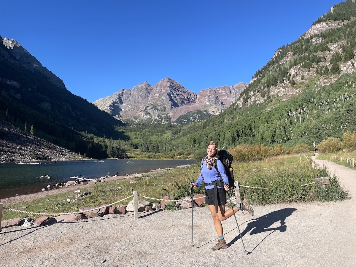
Hiking the trail
I hiked at a steady incline for a little over 1.5 miles. My fresh legs and adrenaline made this first stretch pass quickly.
Before I knew it, I reached the wooden signs that mark the fork to decide whether to continue clockwise or counterclockwise. Since I had planned the itinerary and campsites to hike the loop clockwise, I followed the sign pointing toward Crater Lake.
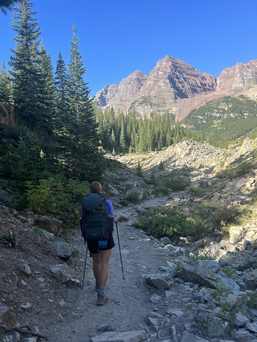
I reached Crater Lake around 9:30 AM and stopped again for some photos. This scenic lake is surrounded by the iconic peaks of the Maroon Bells and beautiful aspen trees.
Many people choose this at their ending point for a day hike; however, it was just the start of my journey.
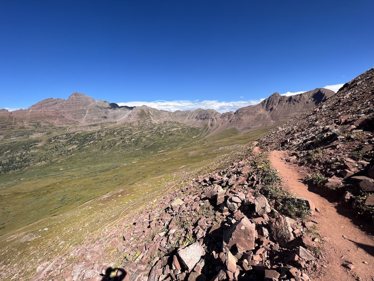
I hiked uphill on the rocky trail in the sun, stopping only once for a 20-minute break in a spot with shade to eat lunch. I would have liked to stop and rest more, but I knew I had many miles to cover on that first day.
While hiking to West Maroon Pass, I enjoyed the views of the green grass, remaining wildflowers, and green aspen trees that were just starting to turn yellow around us. This section of the Four Pass Loop follows West Maroon Creek, so there were ample opportunities to refill my water as needed.
The trail was clearly marked, and I interacted with many encouraging backpackers. After four hours, I reached the summit of West Maroon Pass.
West Maroon Pass
Although it felt difficult at the time, West Maroon Pass was probably the easiest pass I climbed out of the four mountain passes in the loop. The incline was steady and manageable.
From Crater Lake to the top of West Maroon Pass, you gain 2,367 feet of elevation over 4.3 miles. I enjoyed the vast views of the Maroon Bells wilderness at the summit.
The descent was challenging, as the rock scree was loose and slippery. I felt thankful for my trekking poles and grippy hiking boots!
Frigid Air Pass
Two hours after I reached the summit of West Maroon Pass, I found myself on the top of Frigid Air Pass. Although the ascent of Frigid Air was relatively short, it was extremely steep.
You gain almost 500 feet of elevation in half of a mile while hiking above 12,000 feet. I needed to stop for frequent breaks to catch my breath before taking a few more steps.
Read next: If you easily feel winded when you hike, check out this article about improving your lung capacity for hiking. Employing some of the exercises mentioned will undoubtedly help when hiking above 10,000 feet.
As I descended Frigid Air Pass around 3:30 PM, I felt exhausted and desperate to find a camping spot to settle in for the night.
I thought I would find a campsite relatively quickly; however, it took about two hours after I had reached the top of Frigid Air Pass before I found a place to set up camp. This was due to a lack of dispersed campsites at the southern tip of the North Fork Zone.
I found a spot in Fravert Basin along the Crystal River and ensured I was 70 steps away from the water. I set up my tent around 5:30 PM, made dinner, and fell asleep shortly afterward to prepare for another long and scenic day of hiking.
Day 2: North Fork Zone / Fravert Basin to Upper Snowmass Zone
Day 2 Trail Basics
Hiking in Fravert Basin
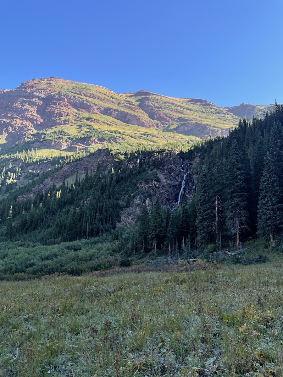
On the second day, I departed my campsite around 7:30 AM and set out on the trail. I enjoyed walking through Fravert Basin, which features forests, natural creeks, and waterfalls.
I also appreciated the comfort of the shade and the cushion of the pine needles beneath my feet while hiking that morning.
After hiking a few miles, I also reached the first (and only) water crossing where I needed to change into my hiking sandals. The water was low and only about 6 inches deep, but I did not want to risk hiking the rest of day in wet socks and boots.
I could have added two miles to my day to see Geneva Lake before ascending Trail Rider Pass. However, since I felt tired from the previous day and knew I had another long day ahead, I decided not to.
I stopped for a quick lunch at a small body of water before starting the ascent of Trail Rider Pass.
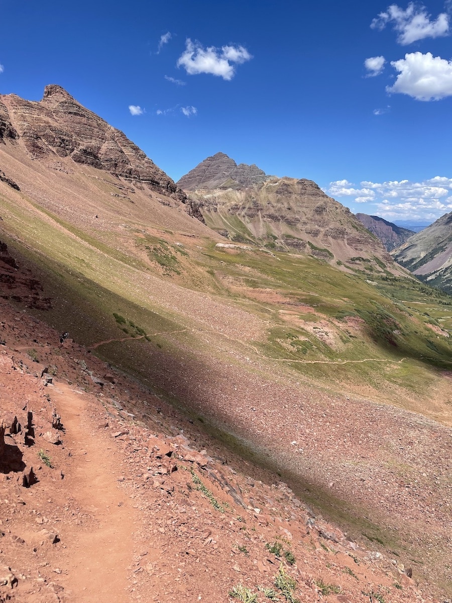
Trail Rider Pass
I remember the ascent to Trail Rider Pass feeling long and steep, and I moved slowly. To distract my brain and help pass the time on the trail, I struck up a conversation with a solo female hiker.
After telling her where I had camped last night, she told me that she had camped a few miles further into the forest of Fravert Basin in the North Fork Zone. She awoke to moose surrounding her campsite that morning! Although I did not see any wildlife on the loop, it was fun to hear about her experience and see her photos.
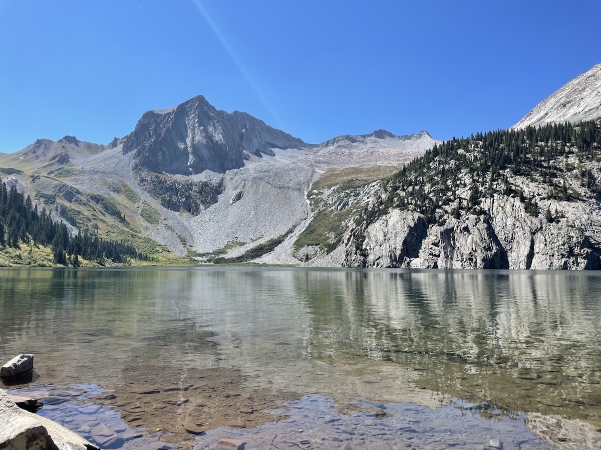
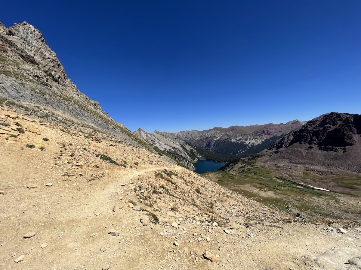
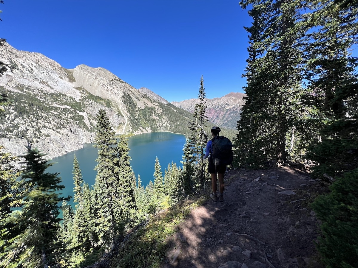
Around noon, I reached the summit of Trail Rider Pass. It was my favorite pass of the entire trip because I could see the beautiful blue water of Snowmass Lake.
The gorgeous water views plus the smooth descent from the top of Trail Rider Pass down to Snowmass Lake made it my favorite stretch of the Four Pass Loop trail.
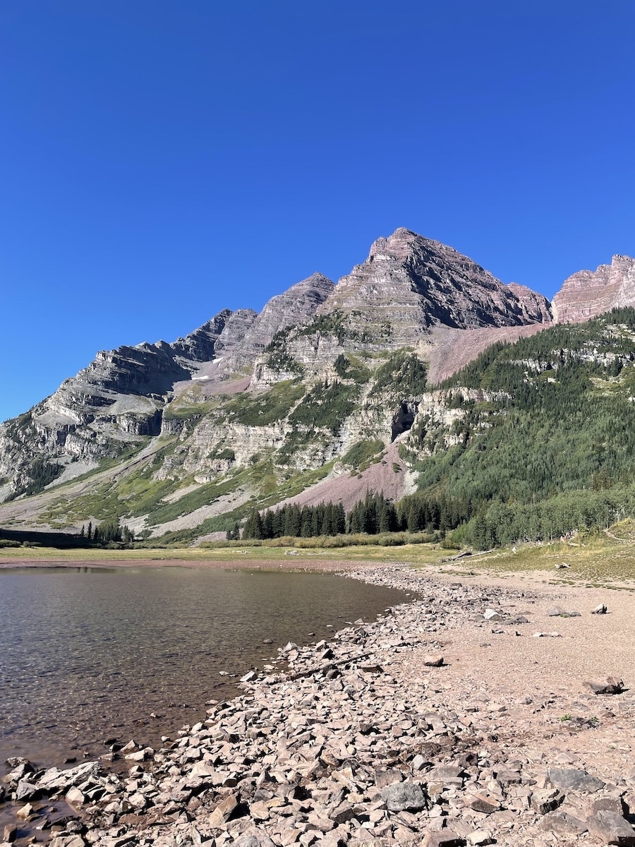
Snowmass Lake
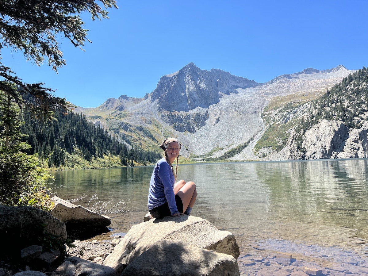
I reached Snowmass Lake around 2:00 PM and stopped to eat a snack, rest my legs, and watch people swim in the cool water.
Snowmass Lake remains one of my favorite alpine lakes of all time. I wish I could have camped at this lake, but it would have made for a long last day of hiking.
After enjoying the lake for about half an hour, I continued to the Upper Snowmass Zone and found a campsite near Snowmass Creek. I set up camp around 5:00 PM, napped, made dinner, and fell asleep around 7:00 PM.
Day 3: Upper Snowmass Zone to Maroon Scenic Area
Day 3 Trail Basics
On my final day on the Four Pass Loop, I awoke and departed my campsite around 7:00 AM. I enjoyed watching the sunrise light up the surrounding mountain peaks as I hiked through the forest to Buckskin Pass.
Buckskin Pass
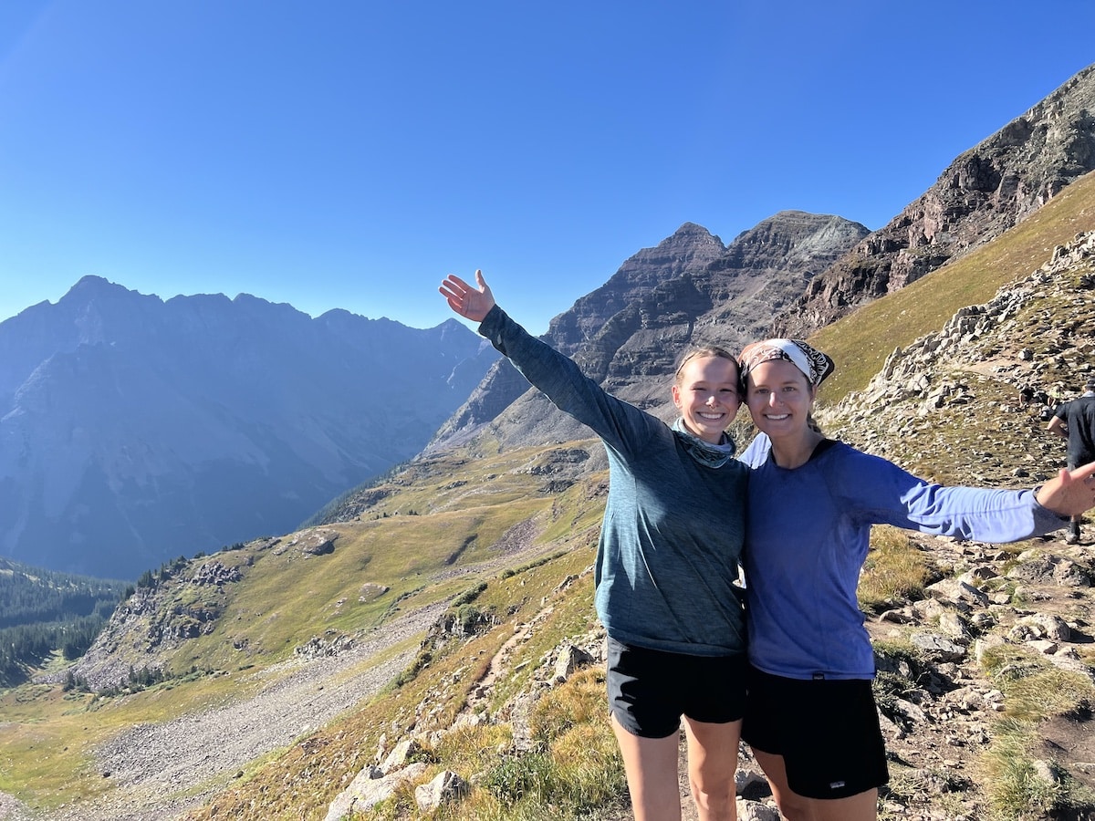
The ascent of Buckskin Pass featured numerous steep switchbacks. After a slow and steady climb, I reached the summit around 9:00 AM.
I took a short break to take photos and admire the views from the top of the final pass of the loop.
The miles between the top of Buckskin Pass to the Maroon Scenic Area seemed to last forever. I admired the changing aspen trees around me but felt tired from the long days of carrying my heavy pack.
In my rush to finish, I slipped once and got a small cut on my hand. Unfortunately, I also got stung by a bee!
I arrived at the parking lot to catch the shuttle just before noon.
When I returned to the Aspen Highlands parking garage, I called my husband to tell him about my adventure. I grabbed a celebratory lunch with my friend at a restaurant in Aspen before hitting the road back to Fort Collins.
Helpful Tip
Camp at Willow Lake if time allows
Once you descend Buckskin Pass, there is an optional trail to see Willow Lake. The hike to Willow Lake adds 7 miles (and another steep climb) to the total hike. I decided not to do this extension; however, I have heard it is a secret gem with fewer people than the rest of the Four Pass Loop trail. If you have another night to spare, you could add on this lake (it is not in a permit zone and does not require an overnight permit to camp there).
Tips for Backpacking the Four Pass Loop
Here are some of my personal recommendations and things I wish I had known before backpacking the Four Pass Loop. Use these tips to help you know what to expect on the trail and plan your trip accordingly.
Four Pass Loop Backpacking Gear
Start with this 3-day backpacking checklist. I also recommend some specific pieces of gear below that you should consider for your Four Pass Loop backpacking trip.
Even if you plan to complete this trail in the summer, weather conditions may change unexpectedly at high elevations. It is crucial to prepare for all elements and cool evenings.
- Colorado Maroon Bells-Snowmass Wilderness Map
- Bear canister or Ursack (required)
- Trekking poles (helpful on steep switchbacks and descents)
- Wide-brimmed hat and/or Buff for sun protection
- Sunscreen
- Water filtration system
- Water reservoir or water bottle
- Rain jacket
- Insulated jacket like the Patagonia Nanopuff
- Microspikes (depending on conditions)
- Bug spray
- First aid kit
- Water crossing shoes (there are 1-2 water crossings where you would need these)
- Toilet paper and trowel or WAG bags
- Portable stove for cooking (fires are not allowed at Crater Lake, Snowmass Lake, or above 10,800 feet)
- Swimsuit (if you want to swim)
READ NEXT
Looking for more backpacking trails? Check out some more of our favorite routes:
- Backpacking The Trans Catalina Trail: Permits, Itineraries, Gear And More
- West Rim Trail Backpacking Guide In Zion National Park
- Ultimate Havasu Falls Camping, Hiking And Permit Guide (2024)
- How To Backpack Cirque Of The Towers In Wyoming (+ Itinerary!)
- Olympic National Park Beach Backpacking: South Coast Trail Guide
Save this post to Pinterest


Would you hike the Maroon Bells Four Pass Loop Trail? Please share your comments, questions, or stories from the trail in the comment section below.
Day hiked to Buckskin Pass, 1967 or ’68. Altitude got me. Returned to camp near Crater Lake. Next day hiked to TH and drove to Aspen, very ill. Friends put me up at Women’s Dorm, Aspen School. Lady friend, harpist, kept track of me while I recovered…a week! Thus, I learned 12000 feet and more are zones beyond my access.
Did explore one or more gold camps and sites and experienced the splendor of final concert of Aspen Music school season at the great tent.