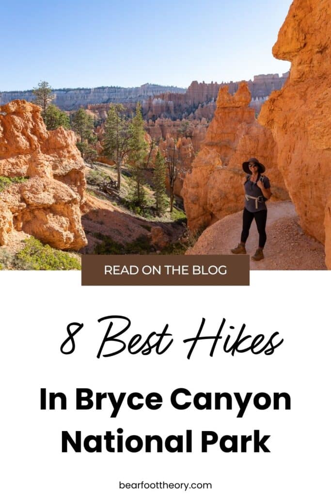
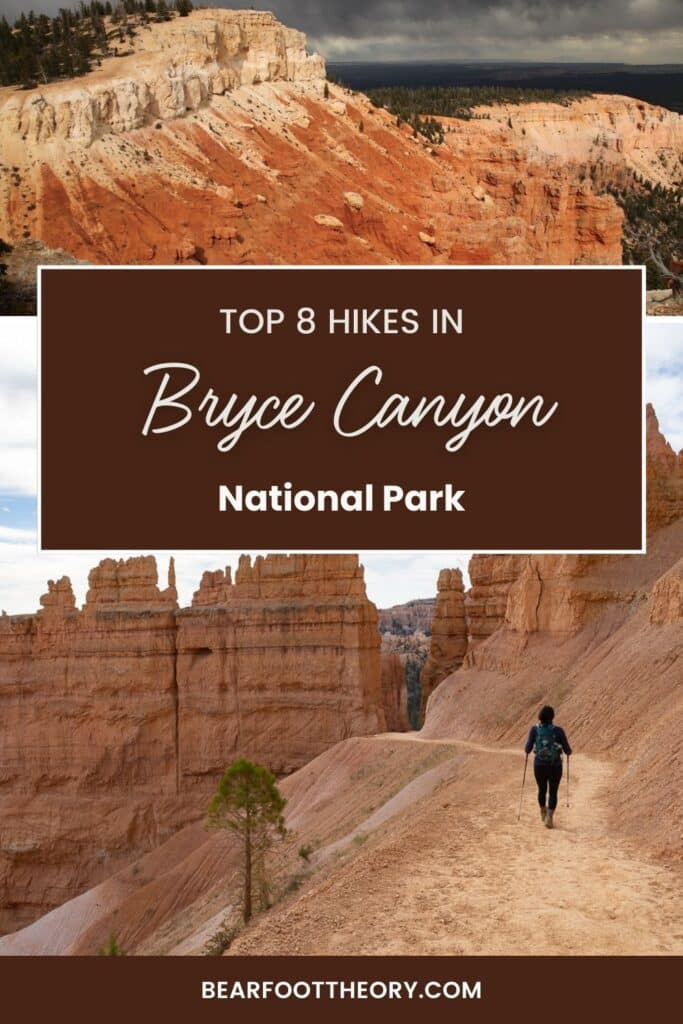
8 Best Hikes in Bryce Canyon National Park
Use this guide to help you discover the 8 best hikes in Bryce Canyon National Park as you prepare to trek among the vibrant orange and red hoodoos.

Most visitors to Bryce Canyon National Park never make their way below the Rim. While the views from the overlooks are incredible, to truly appreciate the magnitude and intricacies of Bryce Canyon’s unique landscapes, you must lace up your hiking boots and make your way down into the depths of the Canyon.
The best hikes in Bryce Canyon National Park wind and weave through the largest collection of hoodoos on Earth making it an unmissable Utah destination for hikers of all levels.
Whether you’re looking for the most iconic hike in the Park (the Navajo Loop), an easy family-friendly stroll (Mossy Cave Trail) or a more challenging experience (the Fairyland Loop), Bryce Canyon has a variety of trails to choose from.
In this post, my team and I have rounded up 8 of the best trails that put you right up close with massive hoodoos, sandstone arches, ancient bristlecone pines, and even a waterfall, with stunning views every step of the way.
This post may contain affiliate links.
Bryce Canyon National Park Layout
As you explore hiking options along with the many things to do in Bryce Canyon National Park, you will find that the park is divided into two main sections: inside and outside the Bryce Amphitheater.
Half of the hikes on this list are inside the Bryce Amphitheater among the first 3 miles of the main park road, a convenient starting point if you don’t want to drive the entire National Park. These hikes start from one of the four main viewpoints in the Bryce Amphitheater: Bryce Point, Inspiration Point, Sunrise Point, and Sunset Point.
The hikes vary in length and difficulty and include paths along the rim of the Bryce Amphitheater and trails within the canyon to see the hoodoos up close.
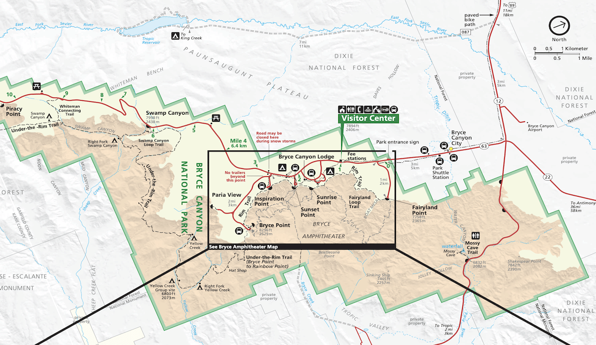
The Southern Scenic Drive begins beyond the first 3 miles of the main park road and leads to hikes outside the Bryce Amphitheater. There are fewer hoodoos the further away you get from the Bryce Amphitheater.
These hikes in this section are more forested with unique rock formations and typically fewer people. There are also easy, moderate, and strenuous hikes in this park section for people of all abilities to enjoy.
Keep in mind that the trails will look very different depending on which season you visit. The best time to visit Bryce Canyon ultimately depends on the hiking conditions you’d like to experience.
Save this post!
Enter your email & I'll send this post to your inbox! You'll also receive my weekly newsletter full of helpful advice for planning your adventures.
Get my Utah National Parks Checklist
Enter your email below to get this PDF guide on your phone, so you don’t miss anything on your Utah Road Trip!
Best Hikes in Bryce Canyon National Park
Once you decide which time of year to visit the park, you can plan your hikes. Here is a list of the 8 best hikes in Bryce Canyon National Park.
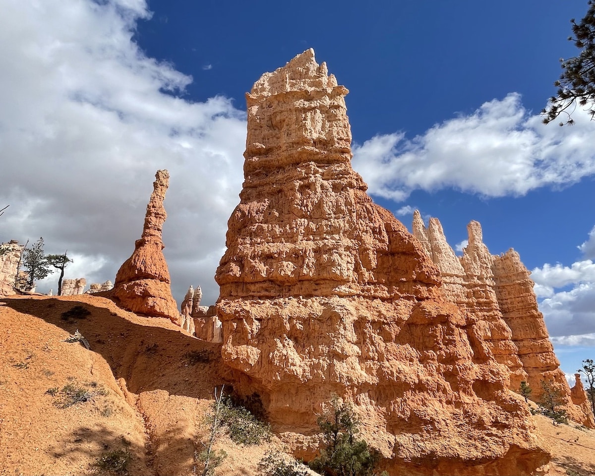
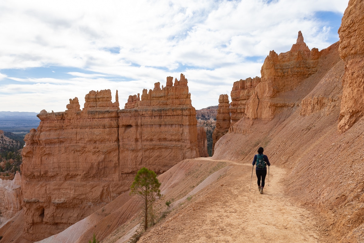
1. Navajo Loop and Queens Garden Trail
Trail Basics
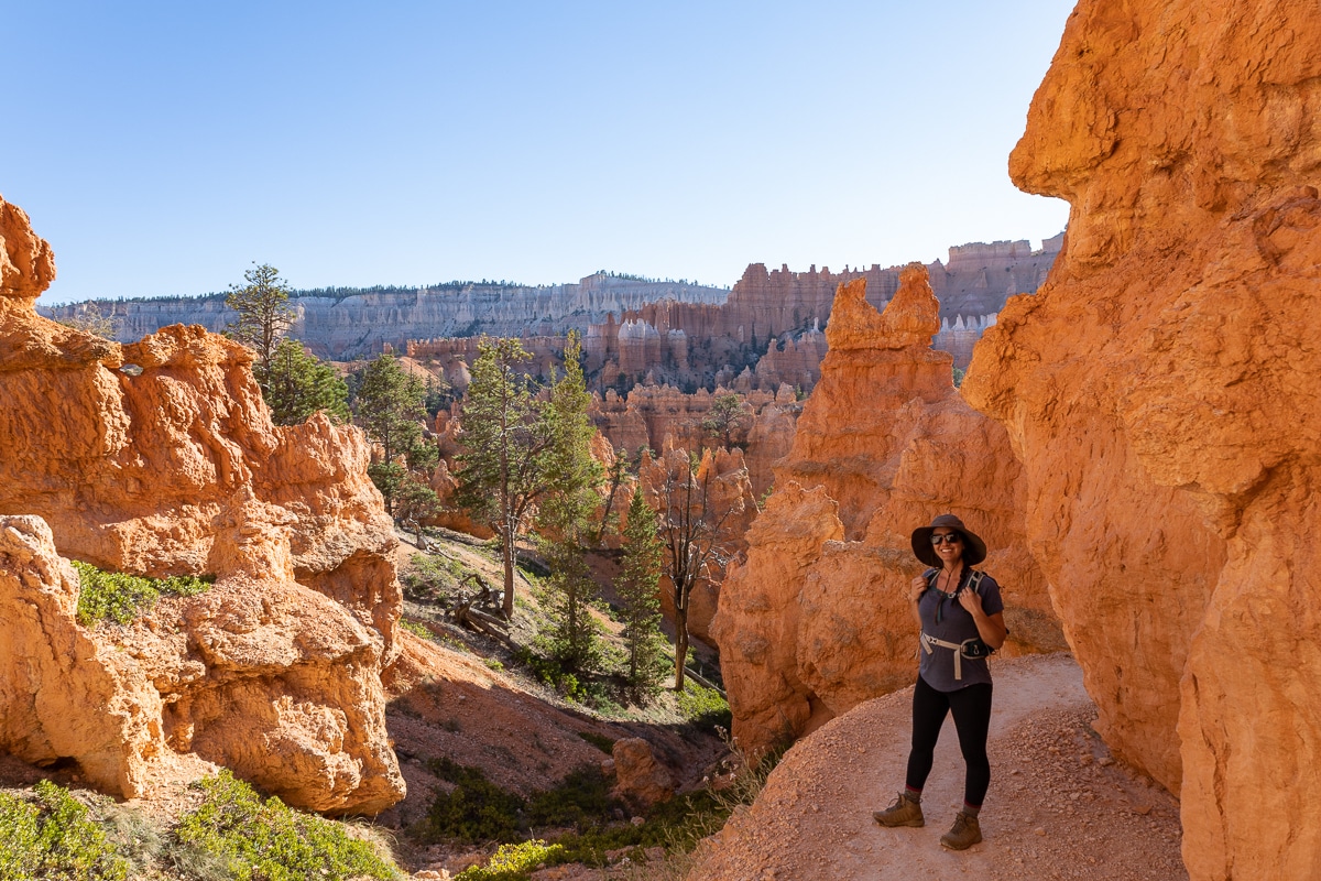
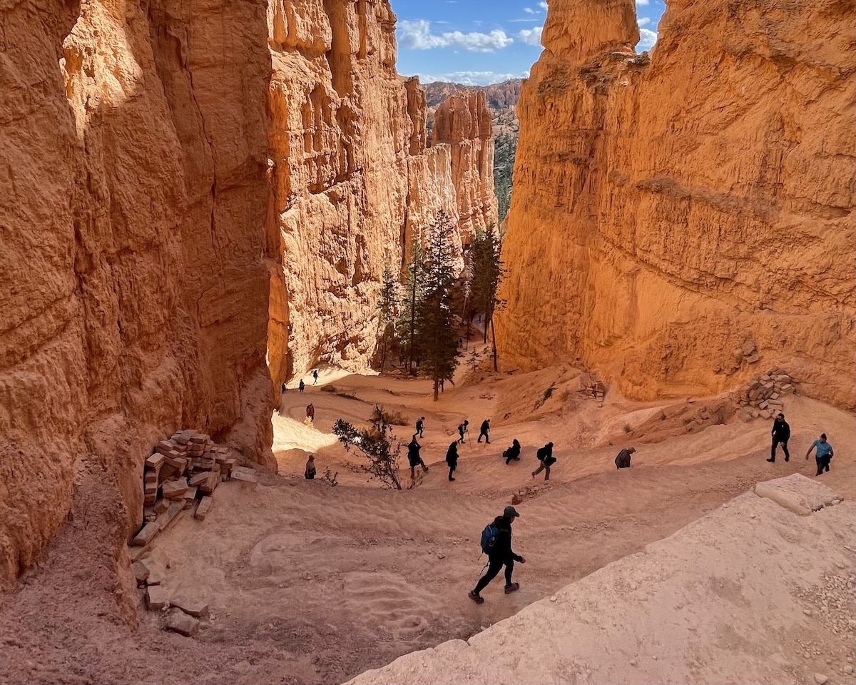
The Navajo Loop and Queens Garden Trail is a 3-mile, moderate hike. It is the most popular hike in Bryce Canyon and is recommended for first-time visitors to experience the hoodoos up close.
You will see three famous hoodoos in Bryce Canyon National Park: Thor’s Hammer hoodoo, Queen Victoria hoodoo, and ET Hoodoo. In addition, you will get to walk through three tunnels within the fins of the hoodoos.
You can begin this hike at either Sunrise Point or Sunset Point, and I recommend starting early due to the popularity of this hike. As far as directions, if you prefer steep downhill and gradual uphill, you should hike counterclockwise. Alternatively, if descents are hard on your knees, you should consider hiking clockwise. I’ve hiked this in both directions and found both to be a moderate challenge.
There are two sets of switchbacks on the Navajo Loop trail. As described, this loop skips the famous (and very busy) Wall Street section and heads down into the Canyon on the switchbacks leading to Two Bridges.
Due to the popularity of this trail, you should start as early as possible, especially if you want to get photos of the switchbacks without a ton of people.
Things to Note
2. Fairyland Loop Trail
Trail Basics
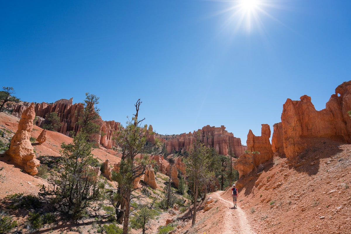
If you’re looking for a longer day hike, I highly recommend the Fairyland Loop trail, my favorite trail in Bryce Canyon. At 7.9 miles with an elevation gain of 1,555 feet, this moderate hike combines views along the rim near Boat Mesa with canyon views of the hoodoos.
There are no boring sections of this hike. As the name suggests, you may feel like you are walking in a magical land of hoodoos, similar to something out of a fairy tale. If you’re looking to get away from the crowds, the longer length of this trail deters some visitors.
There are signs along the trail noting slippery gravel. Although this trail has scree, it is similar to the other trails in the park.
I recommend wearing grippy hiking shoes and going slow as needed. Trekking poles might also come in handy on the steeper sections.
When you reach the halfway point, you can add a quick 0.2-mile detour to your hike to see Tower Bridge. This eroded formation gets its name from the famous London Bridge. (If you don’t want to do the full Fairyland Loop, you can also take a shorter out-and-back trail to Tower Bridge – see Trail #6 below).
Since this is a loop trail, you can hike clockwise or counterclockwise. While counter-clockwise is more popular and a bit easier, I suggest hiking clockwise.
In this direction, you’ll experience the less exciting views of the hike first, with the scenery getting better as you keep going. However, the trade-off is that the end of the hike is more difficult when hiking clockwise.
3. Peekaboo Loop
Trail Basics
This 5.2-mile loop starts at Bryce Point and will quickly lead you into the canyon floor among abundant hoodoos. The Peekaboo Loop wraps around tall spires, arches, and ridges.
The trail is named Peekaboo Loop because there are beautiful surprises and elevation changes around every turn. It is rare to find a flat spot on the trail, and you will continue to switch back and forth between ascending and descending as you cross minor ridges and canyons.
Along the trail, you will see notable features including the Fairy Castle, Hindu Temples, The Cathedral, Silent City, Boat Mesa, and Wall of Windows. You will also see bristlecone pine trees, encounter tunnels inside the fins of hoodoos, and walk by a horse corral. There are pit toilets just a little over a mile after you begin the hike.
This hike is moderate to difficult due to the 1,528-foot elevation gain. Although it is a loop hike, it is more of a lollipop shape. The “stick” section of the lollipop has an elevation gain of 930 feet over 1.5 miles when you head back to Bryce Point, making the end of the hike the most challenging.
Along with the hoodoos, you may also encounter horses on this trail, as Canyon Trail Rides offers horseback rides in Bryce Canyon in the summer months along this route. In the winter, bring traction devices since the trail tends to be icy.
Helpful Tip
Extending the Peekaboo Loop
You can combine this loop with the Navajo Loop or do the 6.4-mile Figure-8 Combination hike of Peekaboo Loop, Navajo Loop, and Queens Garden Trail.
Another option is the Bryce Amphitheater Traverse, a 4.7-mile route consisting of the Peekaboo Loop starting at Bryce Point combined with the Queens Garden Trail ending at Sunrise Point. If you are interested in the Bryce Amphitheater Traverse, I recommend taking the free park shuttle from Sunrise Point back to your vehicle.
4. Sunset Point to Sunrise Point
Trail Basics
If you are short on time and looking for the best hike in Bryce Canyon in terms of bang for your buck, consider the 1.1-mile Sunset Point to Sunrise Point hike along the Rim Trail. It is the easiest hike in Bryce Canyon National Park and a family-friendly trail. It is also the only paved trail in the park with views of the Bryce Amphitheater where people can walk with their dogs on leashes.
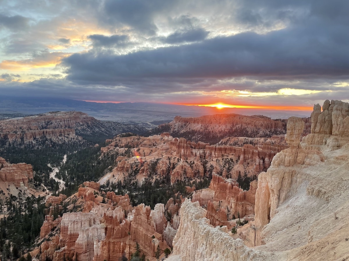
The views are similar at Sunset Point and Sunrise Point, and both are true to their namesakes as great options for catching either sunset or sunrise in the park. At Sunset Point, you can see the iconic Thor’s Hammer hoodoo, while Sunrise Point offers views of several hoodoos: Boat Mesa, the Sinking Ship, and the Aquarius Plateau.
Both Sunset Point and Sunrise Point have parking lots. The Sunset Point parking lot features a restroom and water-fill station open year-round.
You will also end up hiking this trail if you complete the Navajo Loop and Queens Garden Trail or the entire Rim Trail, also included on this list.
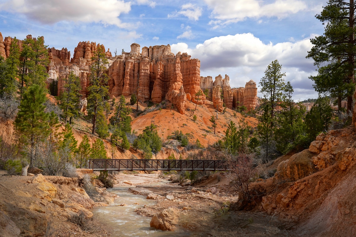
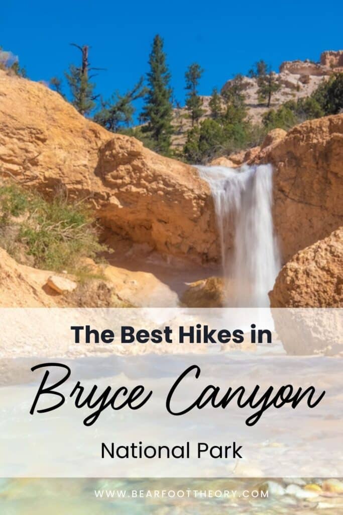
5. Mossy Cave Turret Arch and Little Windows Trail
Trail Basics
There is much beauty to see on this easy, 0.9-mile trail. The Mossy Cave Turret Arch and Little Windows Trail is the farthest north in Bryce Canyon National Park and one of the lowest elevation hikes in the park.
It is also one of the only hikes in Bryce that starts with an easy uphill and ends with a gradual descent over the last 0.6 miles. The lack of steep sections makes this hike doable for people of all ages and abilities.
You will follow the trail for the first 0.3 miles and then reach a fork where you can turn either right or left. To the right is Tropic Ditch Falls, and to the left is Mossy Cave. It does not matter which way you go first.
Depending on when you visit the park, you will see either a waterfall at Tropic Ditch Falls in the summertime or icicles in the winter. This man-made waterfall is the only waterfall in Bryce Canyon.
You will also see hoodoos along the trail and, of course, a mossy cave. However, the cave may not be what you expect. It is more of a wet, mossy grotto that forms ice in the wintertime.
If you only have a short time in Bryce Canyon National Park, the Mossy Cave trail is a great family-friendly option.
6. Tower Bridge Trail
Trail Basics
If you want to experience a section of the Fairyland Loop trail mentioned above but do not have time to hike the entire trail, consider hiking the Tower Bridge Trail. This out-and-back trail is the southern section of the Fairyland Loop and leads to the Tower Bridge rock formation.
You descend about 800 feet in elevation throughout 1.7 miles on your way down to Tower Bridge, making the return part of the hike more challenging. However, to me, it feels gradual and not overly steep.
Along the 3.4-mile route, you will encounter an abundance of hoodoos. The trail is wide and smooth with few rocks, though there may be some snow and mud in the winter and spring months.
In some sections, you will hike among the trees and have a bit of shade. Other sections of the trail are along the canyon wall and are exposed.
Before you know it, you will arrive at the ending point for this hike, Tower Bridge. True to its name, you will see a narrow bridge connecting two large rock towers. To the left of the bridge is an arch that looks round like a window.
7. Bristlecone Loop Trail
Trail Basics
If you are looking for an easy hike in the forested section of Bryce Canyon National Park, look no further than the Bristlecone Loop Trail. This 1-mile trail is located at over 9,100 feet and takes about 25 minutes to complete.
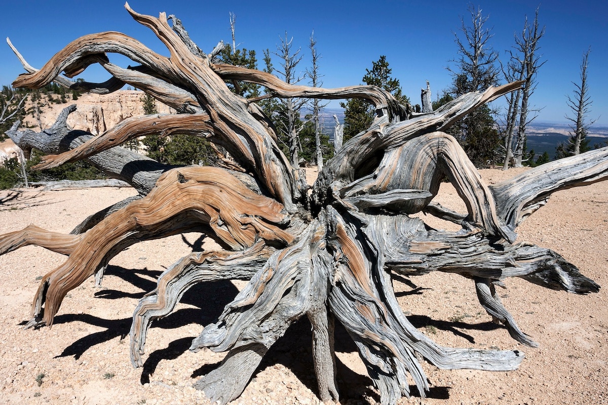
Along the route, you will see 1,800-year-old bristlecone pines and views spanning into the Four Corners area. You may also encounter wildlife such as grouse, woodpeckers, owls, ravens, steller’s jays, squirrels, and chipmunks.
You can extend this hike slightly by about 0.1 miles by adding a quick stop at Yovimpa Point. From here, you can see unobstructed views of the Paunsaugunt Plateau.
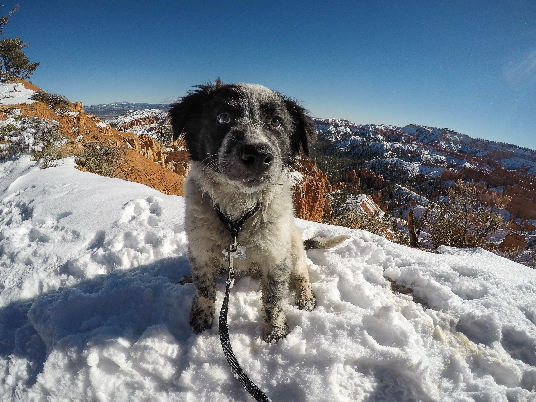
In the wintertime, this trail receives an abundance of snow (up to 15 feet) and may be inaccessible. However, if you can access it, it is one of the most popular trails in Bryce Canyon National Park for snowshoeing.
8. The Rim Trail
Trail Basics
The 11-mile Rim Trail begins in the southern part of the park at Bryce Point and continues all the way north to Fairyland Point. The trail connects the popular viewpoints (Inspiration Point, Sunset Point, and Sunrise Point) into one hike and offers spectacular views of the Bryce Amphitheater along the route.
This trail is worth doing if you want to see the most popular viewpoints by foot instead of by the traditional method of driving and parking. Although you will not hike down into the canyons among the hoodoos, you will see many iconic park features from this trail, including the Wall of Windows, The Cathedral, Thor’s Hammer, and Boat Mesa.
Although this is an out-and-back hike, you could reduce this hike to 5.5 miles total and head from Bryce Point to Fairyland Point without turning around and retracing your steps. However, you would need to have a ride from Fairyland Point back to your vehicle since the free park shuttle does not stop at Fairyland Point. If you decide to do this, I highly recommend starting at Bryce Point so your hike is easier with a gradual descent.
If you are doing the entire 11-mile hike, there is no benefit to starting at Bryce Point or Fairyland Point. It mostly depends on whether you would rather experience the ascent at the start or the end of your hike. If you start the hike at Bryce Point, you will descend the trail to Fairyland Point and experience most of the elevation gain on your way back up.
The easiest section of the Rim Trail is the Sunset Point to Sunrise Point hike mentioned above. If you do not have time for the entire 11-mile hike, I recommend at least hiking this section of the Rim Trail along with the section at Inspiration Point to see the Bryce Amphitheater from a different angle.
Best Time of Year to Hike in Bryce Canyon National Park
Bryce Canyon National Park is open 24 hours a day year-round. The best time of year to visit Bryce Canyon ultimately depends on the type of hiking experience you want to have.
The summer (June through September) is the busiest time of year in the park. Although you will likely have clear skies and pleasant camping conditions, you will want to be mindful of the crowds and hot temperatures in the afternoons. Plan to hike early or late in the day, bring plenty of water, and wear proper sun protection.
Read next: If you want to camp, here is a guide to our best options for camping near Bryce Canyon National Park.
The fall is my favorite time of the year to hike in Bryce Canyon National Park. There are pleasant hiking temperatures and fewer people compared to the summer months, and there is fall foliage to admire along the main park road and in forested areas. Note that the free shuttle service stops at the end of October, and The Lodge at Bryce Canyon and the General Store close at the end of November.
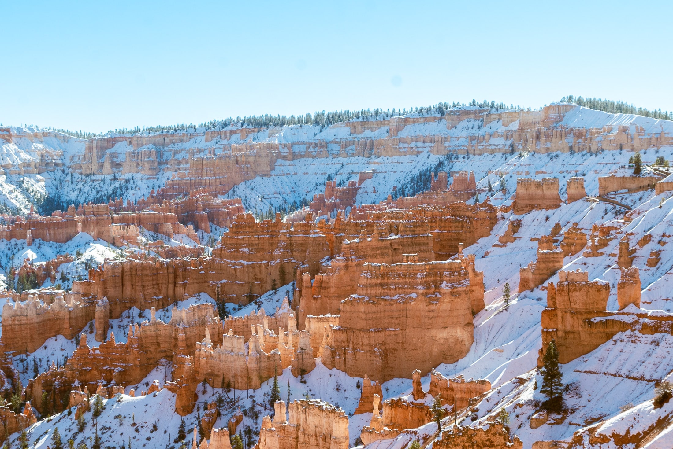
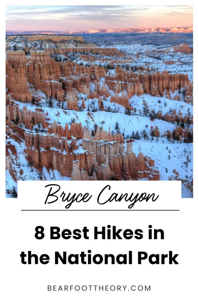
In winter and spring, there will likely be snow on the trails, and temperatures can drop below freezing. I personally love visiting during these months due to the beauty of the white snow against the red hoodoo backdrop. There also tend to be fewer people in the park this time of year.
The snow can cause road and trail closures in the park, so pay attention to the current conditions of Bryce Canyon National Park during your visit. In the wintertime, the Wall Street section of the Navajo Loop Trail and the Rim Trail between Inspiration Point and Bryce Point are closed, along with the roads leading to Fairyland Point and Paria View.
Plan to dress in warm hiking layers and bring traction devices such as MICROspikes to hike in snowy or icy conditions. You may also want to bring snowshoes or rent them if you plan to go on the trail immediately after a snowfall.
Read next: Planning a trip to Utah’s Mighty 5 National Parks? Here’s the lowdown on the best times of year to visit.
Bryce Canyon National Park Hiking Tips
As you prepare for these best hikes in Bryce Canyon National Park, I recommend following the recommendations below. No matter which trails you choose to hike in the park, these tips will ensure a safe and enjoyable experience.
READ NEXT
Want to explore Bryce Canyon even more? Check out these resources:
- Ultimate Guide To Visiting Bryce Canyon National Park
- Trail Guide: Navajo Loop And Queens Garden Trail In Bryce Canyon National Park
- Best Time To Visit Bryce Canyon National Park
- Hiking The Fairyland Loop Trail In Bryce Canyon National Park
- Best Bryce Canyon Camping Options (Including Free Dispersed Campsites)
Save this post to Pinterest
Which hike do you think is the best hike in Bryce Canyon National Park? Leave a comment below!