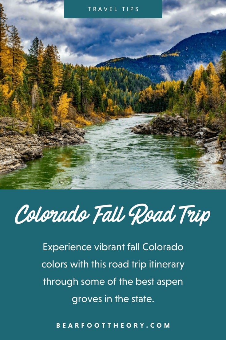
Ultimate 4-Day Colorado Fall Foliage Road Trip Itinerary
Colorado has some of the most vibrant aspen groves in the country come fall. Whether you have one day or a long weekend, follow this road trip itinerary to experience Colorado’s best fall colors first-hand.
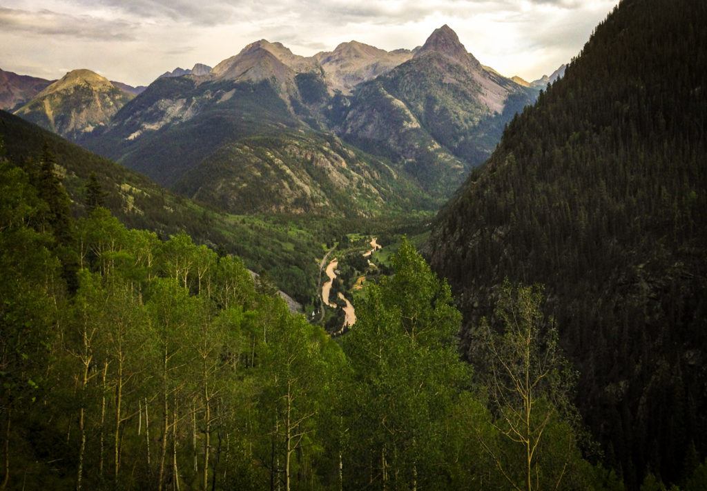
We’ve all seen those dreamy photos of Colorado’s golden aspens spreading across mountains and valleys as fall descends on the Rockies. They are a sight to behold, lighting up the mountainsides like fire.
As Colorado residents (and lovers of autumn), we’ve spent a lot of time roaming around our state searching for the best places to view stunning Colorado fall foliage.
In this post, we’ve put together a 4-day Colorado fall road trip itinerary so you can also experience the fall colors in Colorado first-hand. From the most scenic mountain pass drives to our favorite fall hikes, there’s something for every outdoor adventurer. If you want to take on a few more days, check out the Million Dollar Highway that goes through Telluride, Silverton, and Durango.
This post may contain affiliate links.
Fall in Colorado: An Overview
Growing up in Denver, it always seemed like the warm, lazy days of summer instantly turned into dark, snowy dredge of winter. There were only a handful of days with cool temps and changing leaves.
If Fall did make an appearance for more than a couple of days, though, it was in the mountains.
Although it‘s usually brief, Fall in the Colorado mountains is the greatest.
Temperatures have cooled down and the weather is stable enough to spend all day outside without getting caught in afternoon thunderstorms (be sure to pack your fall hiking layers though!).
Fall is also a shoulder season for tourism, so the crowds are mostly gone and there are great deals to be found. But most of all, the leaves, they are a-changing!
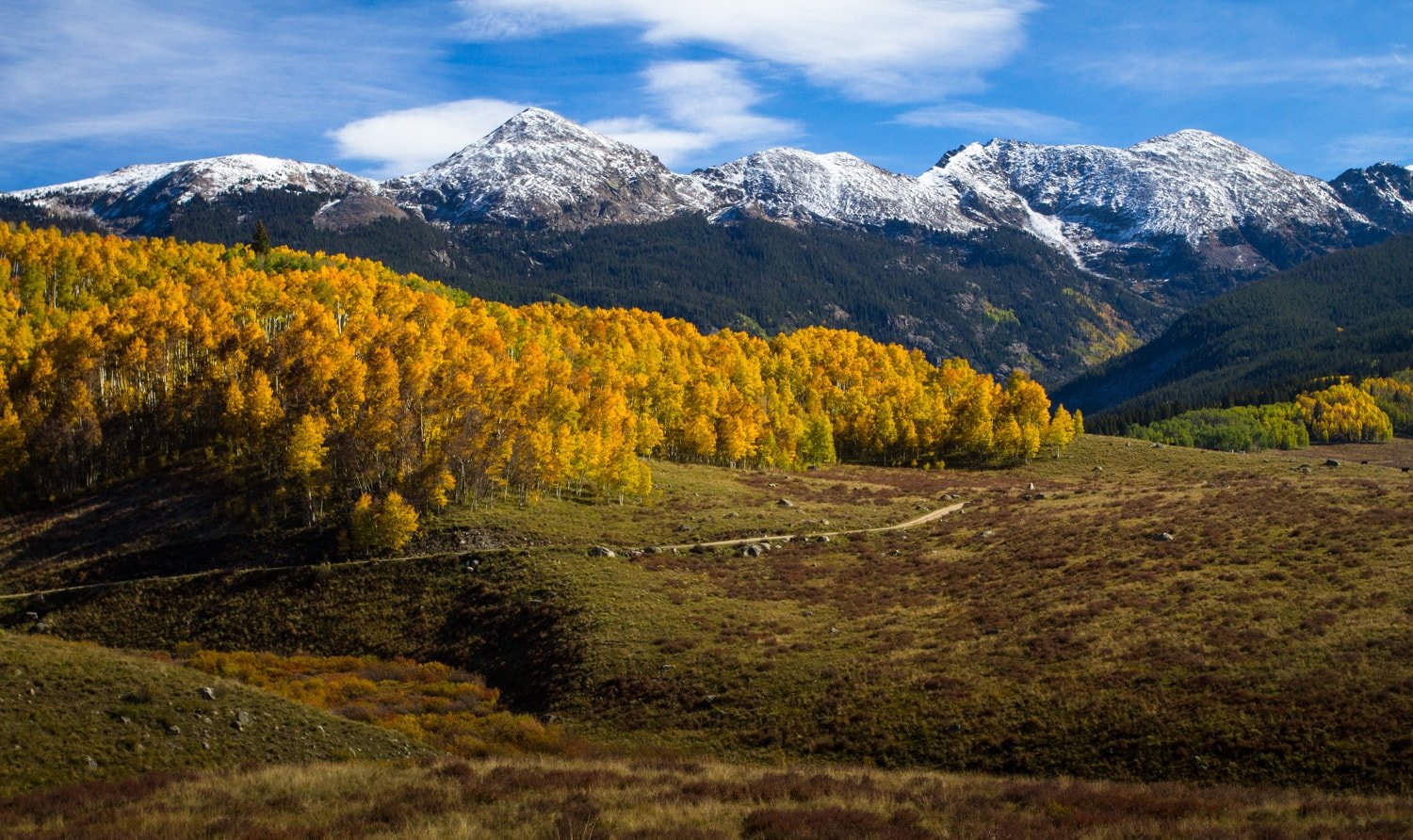
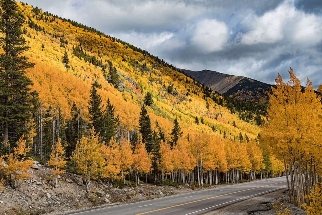
In Colorado, that means the aspens turn GOLD. Seeing the aspen colors at their peak in late September/early October is a lifetime must-do.
I have a personal affinity for road trips, so below I’ve outlined the ultimate Colorado fall road trip. It covers the entire state, with each leg of the trip hitting the biggest and best aspen groves.
Depending on your fall road trip time constraints, you can do the whole itinerary as one trip or take on any of the individual legs for a day or weekend escape from Denver while the leaves are changing. You will not be disappointed!
Read next: Best Weekend Trips From Denver
Save this post!
Enter your email & I'll send this post to your inbox! You'll also receive my weekly newsletter full of helpful advice for planning your adventures.
4-Day Colorado Fall Road Trip Itinerary
Each leg of this fall Colorado fall foliage itinerary includes a bonus hike as an option so you can check out the beauty of the fall colors up close and stretch your legs a bit.
Detailed driving directions can be found by clicking on MAP underneath each driving leg, sending you to a Google map for that specific leg.
The driving is all on highways, so any passenger car should be able to handle it, no four-wheel-drive necessary.
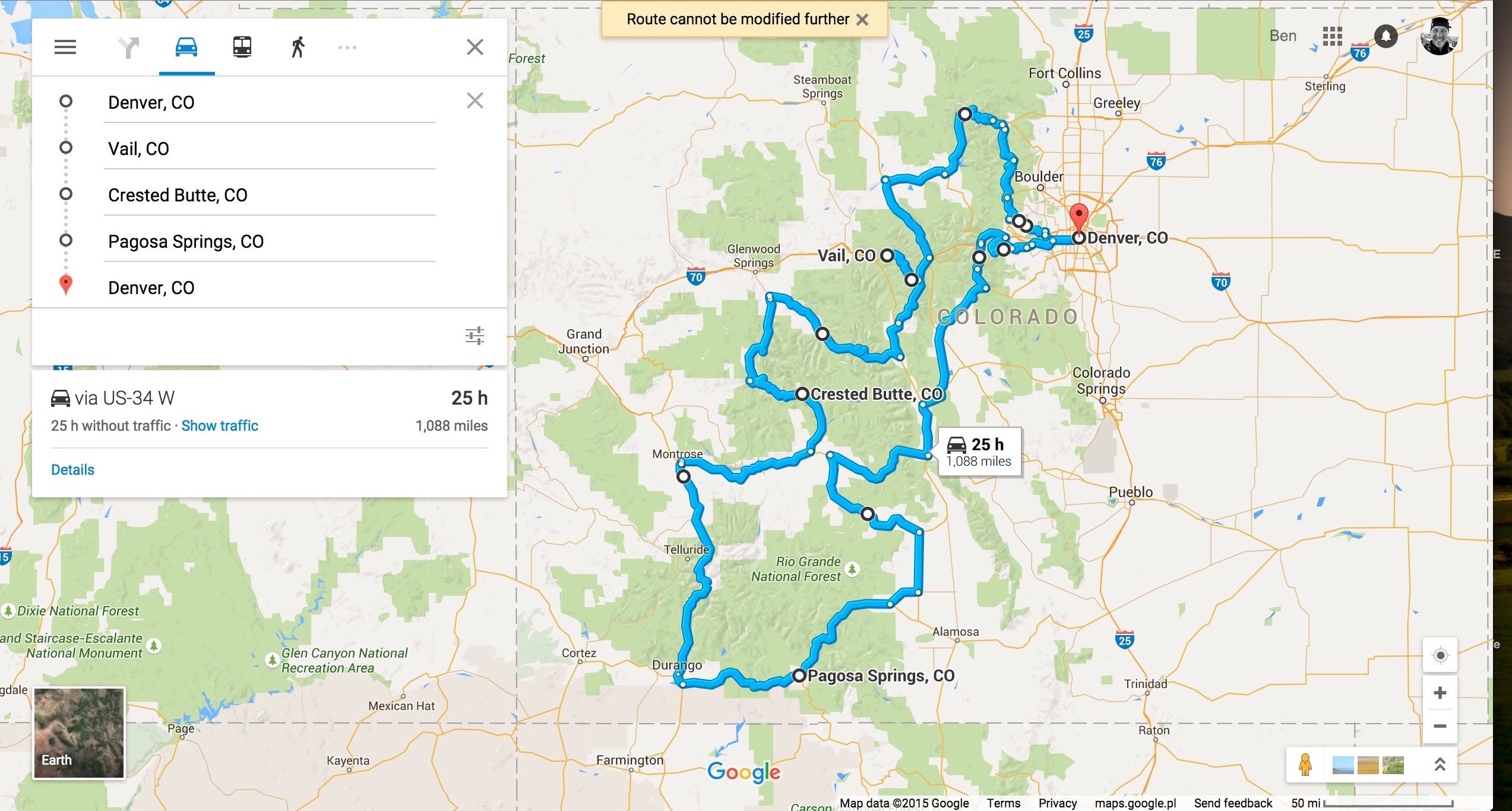
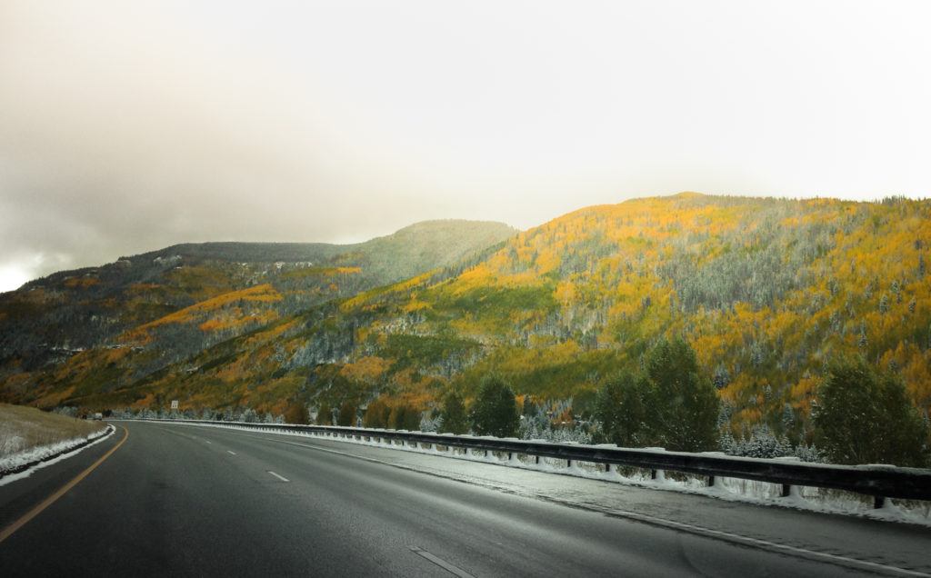
Leg 1: Denver to Vail
- Route: Rocky Mountain National Park and Steamboat Springs – MAP
- Distance: 319 miles
- Drive time: 7.5 hours
We start off this fall road trip with a bang.
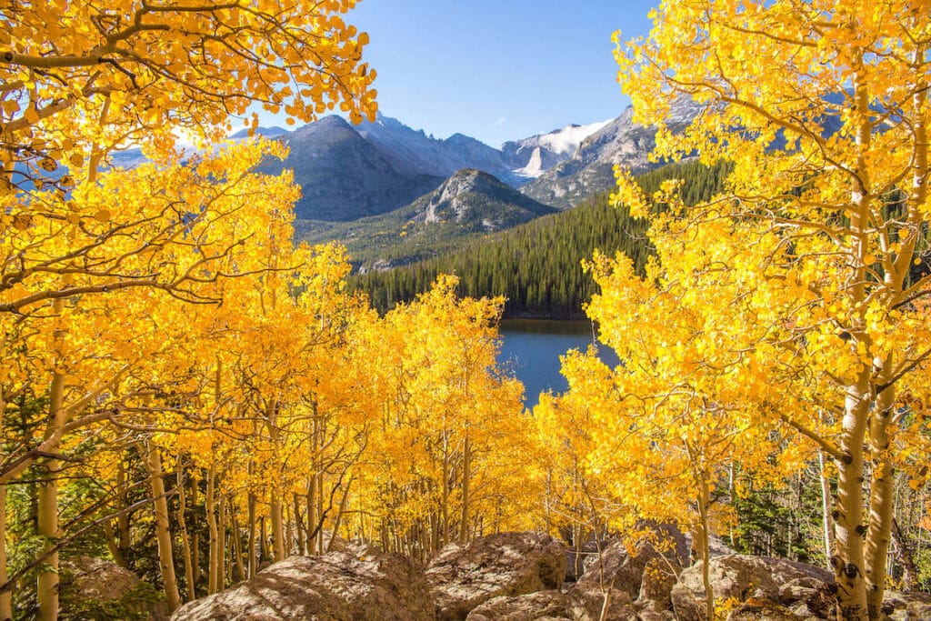
Bonus Hike: Bierstadt Lake in Rocky Mountain National Park
Make the most of your park entrance fee in Rocky Mountain National Park by stretching your legs on this 2.4-mile roundtrip hike.
Views stretch back into Glacier Gorge toward the Continental Divide and Longs Peak, with aspens changing below. Get more trail info here.
For other hikes in the Park, check out our guide on the Best Day Hikes in Rocky Mountain National Park.
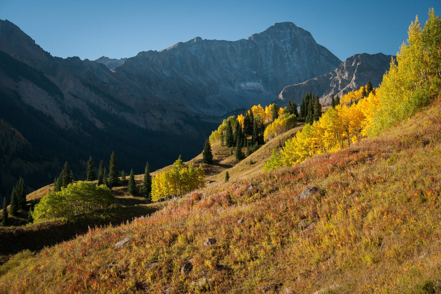
Leg 2: Vail to Crested Butte
- Route: Aspen and Carbondale – MAP
- Distance: 207 miles
- Drive time: 6 hours
This leg of the road trip is the highlight. Don’t get me wrong, everywhere on this itinerary is spectacular, but the combination of Vail, Independence, McClure, and Kebler Passes might be beauty overload.
Each pass alone could be a weekend (or week-long) trip. But here they combine to form leg two of our ultimate Colorado fall colors road trip.
The driving distance on this leg is a bit shorter, but you’ll want every second to stop for photos and soak in the magnificence.
Bonus Hike: Capitol Lake via the Capitol Ditch Trail
Lose some of the leaf-peeping crowds that flock to Maroon Lake near Aspen and become surrounded by aspen trees on this beautiful 12-mile out and back.
Heads up, the road to this trailhead requires high clearance (~7 inches) 4WD for the last mile. Get more trail info here.
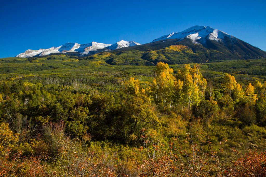
Leg 3: Crested Butte to Pagosa Springs
- Route: Silverton and Durango – MAP
- Distance: 259 miles
- Drive time: 5.5 hours
Leg 3 is another shorter day drive time-wise, but for good reason. You’re heading down to the western slope and then beyond into the San Juans, Colorado’s most dramatic mountain range which are often amplified by fall aspen leaf beauty.
Bonus Hike: The Colorado Trail from Molas Pass to the Animas River
This hike is a little backward, which makes it kind of fun. Start at the top of Molas Pass and hike down on the Colorado Trail to the Animas River and the train tracks of the Durango-Silverton Narrow Gauge railway.
On the way, you’ll pass into the tree line (and through aspens of course) with close-up views of the impressive Vestal Peak.
It’s four miles down to the river, dropping 3,000 feet in the process. Remember, you’ll have to climb all the way back up if you make it all the way down to the river!
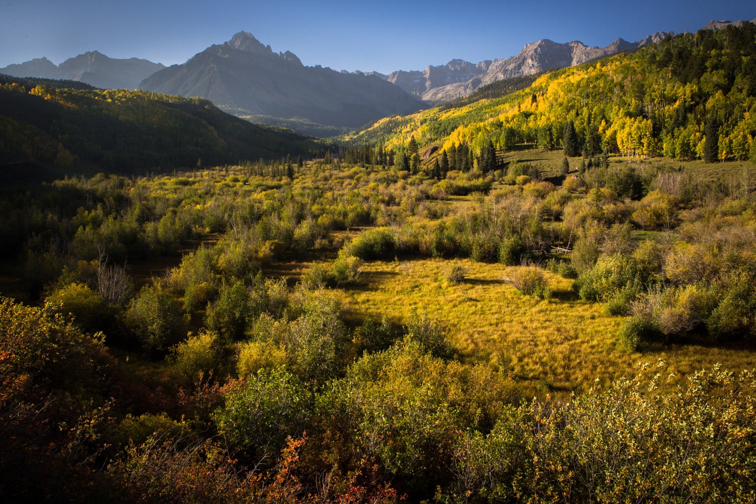
Bonus Driving Leg: Dallas Divide from Ridgway towards Telluride, CO-62
I wanted this road trip to be a true loop with no backtracking. That meant cutting off a couple of spots that didn’t quite fit.
But Dallas Divide and Telluride are SO BEAUTIFUL in the fall, I have to at least mention them.
If you have the time, the views in this area are well worth the effort to turn around and head back the way you came.
Check out some of the best hikes in Telluride while you’re there.
Leg 4: Pagosa Springs to Denver
- Route: Salida, Fairplay, and Georgetown – MAP
- Distance: 389 miles
- Drive time: 8 hours
Bonus Hike: San Luis Peak between Saguache and Gunnison
If the weather is favorable, San Luis Peak is the most remote fourteener in Colorado.
It is an awesome 13-mile, class 1 trail that rewards hikers with some golden aspens on the way to the top. Get more trail info here.
Whew, there you have it! Twenty-seven hours of some of the prettiest fall colors in Colorado driving in the world, literally.
Fall is the most wonderful time of the year in Colorado for a road trip; now get out there and enjoy!
Are you planning a Colorado fall road trip? Where is your favorite place to see Colorado fall foliage? Leave a comment below!
Yessss! I’m happy to see the CT from Kenosha Pass to Georgia Pass make this list. Riding that sucker on the mountain bike is pretty much my favorite part of fall (ok, along with boots and scarves ….). Great itinerary!
Hey! I’ll tackle the warranted cliche first: the photos are amazing and I think Ben and Jenna did an awesome job with such the difficult task of capturing Colorado fall colors.
A friend of mine was in Crested Butte for all of Sept. 2014 and the photos of the landscape and changing colors were unlike anything we have here in Thailand.
This is one more post edging me to grab the pack and hitting up US hiking trails! Sweet.
Thank you for this! Very excited for our road trip in Colorado to see the fall foliage. I am coming all the way from Asia. I was wondering, if I wanted to do a drive this in reverse, from Denver to Vail via Craig (to stop by Sand Wash Basin) and then to Steamboat Springs and back down, is it worthwhile doing?
Hello! You can definitely do the route in reverse. That is no problem at all. Hope you have a great adventure!
Colorado is a beautiful place to visit in holidays. These places are very beautiful. If you are looking for a road trip then Colorado is a perfect place for you. I like photos in this post. Amazing clicks.
Do you have the driving directions available in Google map form? There doesn’t seem to be a link when I try to click on the image of the entire loop.
Hi there Mel! You can click next to each leg where it says, “MAP” and it will load a google maps link for you!
This looks like a great trip! Where would you recommend to stay at night along the way? Thinking of doing this drive for 10 days!
Hi Sarah, there are some incredible towns you’re going to be driving through on this itinerary. Steamboat Springs, Aspen, Carbondale, Crested Butte, Durango are all great to stop in. I would definitely see if you can find some unique AirBnBs in any of the locations!
Great photos, and great places! I have yet to visit Crested Butte, but I continue to hear beautiful things about. I can’t wait to visit it this fall.
To offer a suggestion – Palisade, CO offers beautiful fall views as well that complement their many wineries. And Palisade Basecamp offers a variety of lodging options as well. So, guests can take a great hike in the morning, experience some wineries in the afternoon, and sleep safely and soundly at their camping destination – Palisade Basecamp, while taking in beautiful fall views the entire time. And the best part is that the Western Slope tends to have a longer fall than the Front Range.
You can check it out at palisadebasecamp.com.
I love the opening scene on you home page: where was that taken?
I absolutely love Colorado and everything about it! My fiancé and I have visited twice but during the winter months (Divide in December and Grand Lake in February). I really want to visit during the fall to see all the colors! We would be driving from Austin, Texas (we drive both times we’ve visited bc we bring our dog). It took about 14 hours to get to divide. Would this road trip be something we could do in 10 days and enjoy each place? Or do you recommend having more time?
Hi, Jackie!
Colorado is gorgeous – so glad to hear you’re getting out to explore it! If you have 10 days, I think you’d be able to enjoy yourself and your time. I suggest choosing a few places to visit and spending a couple days in each place, then if you want to move on sooner you can but you won’t be feeling rushed. If you have more than 10 days, you definitely won’t run out of things to do and places to visit. Enjoy! – Mary Kathryn
cool
Hey, is Oct 2nd week too late for all these places? Any chance of the Trail ridge rd in Rocky’s NP to be closed by then?
Depending on the season, you should still be able to see aspen foliage in mid-October. As for trail/road closure, it really depends on weather and conditions. Check the Rocky Mountain National Park website for the most up-to-date information
I am using this exact itinerary for my trip in September and I am so excited! Thank you for the detail!
Hi Talia, glad you found it helpful – enjoy your trip!!
I’m trying to decide when is the best time to do the Colorado Fall Road Trip to experience the colors as shown in your photo’s. Do you recommend the last week in September or the first week in October or possibly break it up between the last few days in September through maybe October 4-5?
It really depends on the year and how quickly it gets cold. I’d say the last week in September if you still want to catch a little green. By the first week of October, many of the leaves will have fallen.