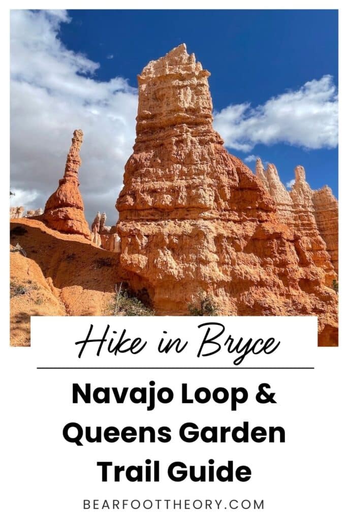
Trail Guide: Navajo Loop and Queens Garden Trail in Bryce Canyon National Park
Learn everything you need to know about hiking the Navajo Loop and Queens Garden Trail in Bryce Canyon National Park and enjoy the views of the iconic hoodoos.

Perhaps you are familiar with the iconic orange and pink hoodoos scattered across the valley of Bryce Canyon National Park in Southern Utah. If you are short on time and want to experience these hoodoos up close on a scenic, moderate day hike, check out the Navajo Loop and Queens Garden Trail.
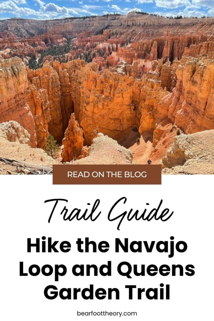
The Navajo Loop Trail and Queens Garden Trail are technically two separate trails, but they are often combined into a single loop hike that has become the most popular hike in Bryce Canyon National Park. The Navajo Loop Trail features iconic switchbacks and views of the Thor’s Hammer hoodoo, while the Queens Garden Trail is known for its panoramic views of the Bryce Amphitheater with hoodoos and spires as far as the eye can see.
This was my first hike in Bryce Canyon when I visited in 2023, and I LOVED this trail! It was an enjoyable day hike that never felt too challenging, and I liked hiking amongst the hoodoos that make Bryce such a unique place.
In this post, I share everything you need to know about hiking the Bryce Canyon Navajo Loop and Queens Garden Trail to help you plan your hike and know what to expect on the trail.
Get my Utah National Parks Checklist
Enter your email below to get this PDF guide on your phone, so you don’t miss anything on your Utah Road Trip!
This post may contain affiliate links.
Save this post!
Enter your email & I'll send this post to your inbox! You'll also receive my weekly newsletter full of helpful advice for planning your adventures.
Navajo Loop and Queens Garden Trail Basics
These stats are for the Navajo Loop Trail via the Two Bridges route to Queens Garden Trail. It is possible to take the Navajo Loop Trail via the Wall Street route instead of Two Bridges; however, this section of the trail is closed for repairs through Memorial Day of 2024 and during the winter season.
Trail Basics
Best Time of Year to Hike the Navajo Loop and Queens Garden Trail
Like other trails in Bryce Canyon National Park, the Navajo Loop and Queens Garden Trail hike is open year-round, meaning you can enjoy the trail in all types of weather. The best time to visit Bryce Canyon depends on what kind of experience you are looking for.
Spring and fall are great times to explore Bryce Canyon National Park because there tends to be cooler weather and fewer people on the trails.
It is also magical to hike this trail in the winter to see the vibrant orange hoodoos with a fresh layer of snow on top of them. If you hike the Navajo Loop and Queens Garden Trail in the winter, bring traction devices (I use Kahtoola MICROspikes) since the trail can get icy and slick.
Summer months (June through September) are the busiest time of year to visit Bryce Canyon National Park. If you visit during this time, be prepared for crowded trails. Wear proper sun protection and carry plenty of water as there are exposed sections.
Read next: Looking for a place to camp during your trip? Here are our best options for paid and free camping near Bryce.
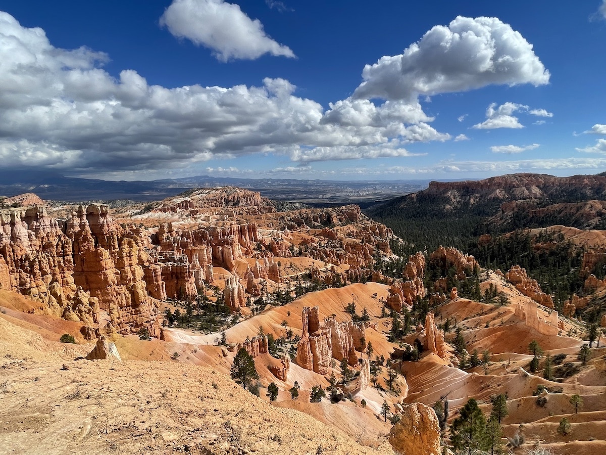
Getting to the Trailhead
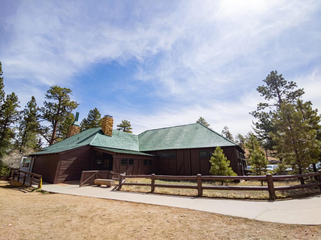
To hike the Navajo Loop and Queens Garden Trail, you can park in the parking lot for either Sunrise Point or Sunset Point (and start the hike from either point). Sunset Point has restrooms with a water-fill station open year-round, while Sunrise Point has a General Store near the parking lot with snacks.
There is no other benefit of parking at or starting the hike at Sunset Point versus Sunrise Point. You will see the views from each lookout point during the hike.
After entering Bryce Canyon National Park, follow the main road about a mile past the visitor center. You will see a sign to turn left into the parking lot for Sunrise Point. If this lot is full or you accidentally miss the turn, follow the road another half mile to the left turn for the Sunset Point parking lot.
If you prefer not to drive, another option is to take the free park shuttle. It runs every 10-15 minutes from April to October from 8:00 a.m. to 6:00 p.m. with extended hours in the summertime. You can park at various locations in Bryce Canyon City and board the shuttle with proof of a park entry pass. You can also catch the shuttle from several points inside the park including the Bryce Canyon National Park Visitor Center, which has a large parking lot.
Read next: If you have time for another trail, consider hiking the 7.4-mile Fairyland Loop trail in Bryce Canyon.
What is a Hoodoo?
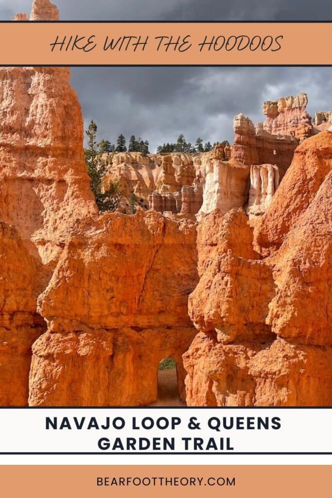
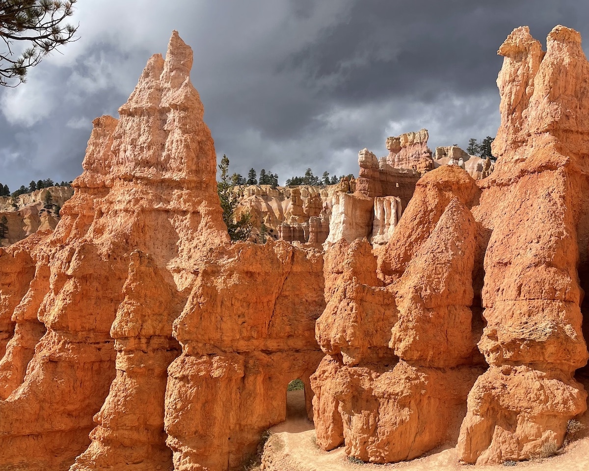
The spiky, tall rock formations across Bryce Canyon National Park are called hoodoos. A hoodoo is a tall spire formed through compression and erosion. The Earth’s movement compressed and twisted the sandstone, causing it to crack into groups of tall blocks.
Water, ice, and wind erode the cracks in the blocks. Water thins the sides of the blocks, and holes form in their center. As the erosion continues, the tops of these holes crumble.
Most erosion in Bryce Canyon National Park results from “frost wedging,” which occurs when rain accumulates, freezes, and expands in the cracks of the rocks, creating even larger cracks. This process ultimately results in the formation of tall spires called hoodoos.
Navajo Loop Trail Features
There are notable trail features along the Bryce Canyon Navajo Loop and Queens Garden Trail to admire during your hike. These features can help you gauge your distance and provide good stopping points for photos and breaks.
As explained in the tip section below, I decided to start at Sunrise Point and hike the Navajo Loop and Queens Garden Trail counterclockwise. I describe the features in that order.
Instead of following the Navajo Loop Trail as described through the switchbacks leading to Two Bridges, you can take the Wall Street branch of the Navajo Loop Trail. It is the only slot canyon in Bryce Canyon National Park. There is another set of famous switchbacks along this section of the Navajo Loop.
As of January 2024, the Wall Street branch is closed due to trail damage, but it is expected to reopen by Memorial Day 2024. This branch is also typically closed during winter months due to ice.
Mile 0 – Sunrise Point
From the top of Sunrise Point, you can see several hoodoo formations such as Boat Mesa, the Sinking Ship, and the Aquarius Plateau. With similar views to Sunset Point, both spots are great places to catch a sunrise or a sunset in Bryce Canyon National Park. The sun illuminates the hoodoos with stunning hues of dark orange and red.
Mile 0.5 – Sunset Point
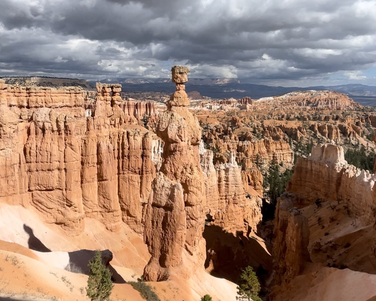
Walking along the Rim Trail from Sunrise Point to Sunset Point, you will see numerous hoodoos known as the Silent City. You can also see the iconic Thor’s Hammer hoodoo (mentioned below). It is the only dog-friendly portion of the trail, so you may see a few people walking their dogs on leashes.
Mile 0.5 – Thor’s Hammer
Arguably the most famous hoodoo in Bryce Canyon National Park, Thor’s Hammer hoodoo stands tall in its glory. You can see this hoodoo from the Rim Trail near Sunset Point, and you can also get a closer view of it from the first few switchbacks mentioned below during your descent of the Navajo Loop Trail.
Mile 0.8 – Switchbacks
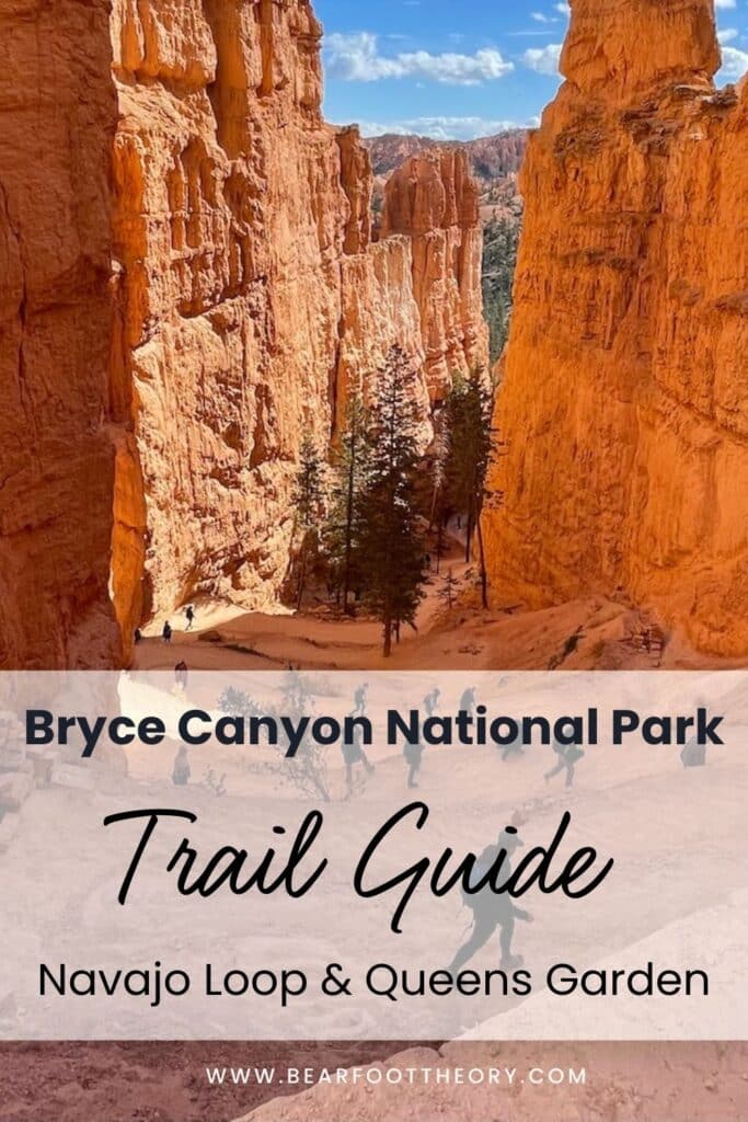
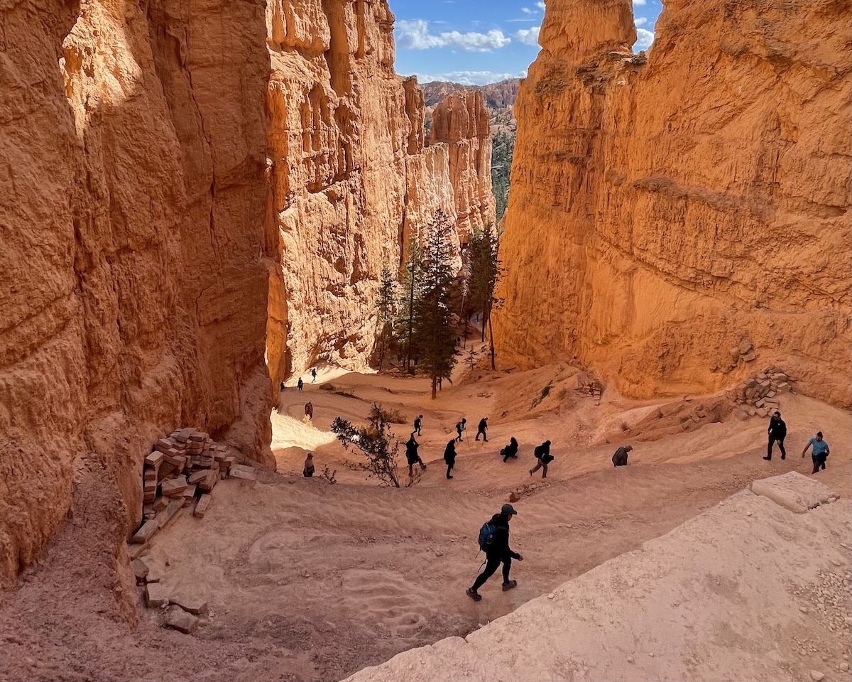
You will descend a series of steep switchbacks surrounded by towering canyon walls. Be careful not to go too fast – according to the Bryce Canyon National Park website, most injuries happen while walking down this initial section of the Navajo Loop Trail. If you take the Wall Street section, you will encounter a different set of switchbacks there leading into the slot canyon.
Mile 1.0 – Two Bridges
After descending the switchbacks, you will see a sign for Two Bridges. As the name states, these are two natural bridges, one above the other. From this feature to Queens Garden, you will hike among pine trees on a relatively flat trek through the Bryce Canyon Valley floor.
Mile 2.1 – Queens Garden & Queen Victoria
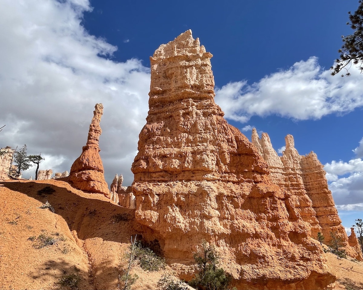
The Queens Garden is a short, 0.1-mile offshoot from the loop, featuring an abundance of hoodoos and the Queen Victoria Hoodoo. You may skip this feature and continue on the loop, but it is worth deviating a few extra steps. The Queen Victoria Hoodoo is one of the top three most famous hoodoos in Bryce Canyon National Park, and it looks just like a queen on her throne!
Mile 2.3 – Tunnels
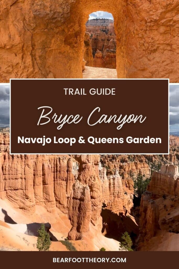
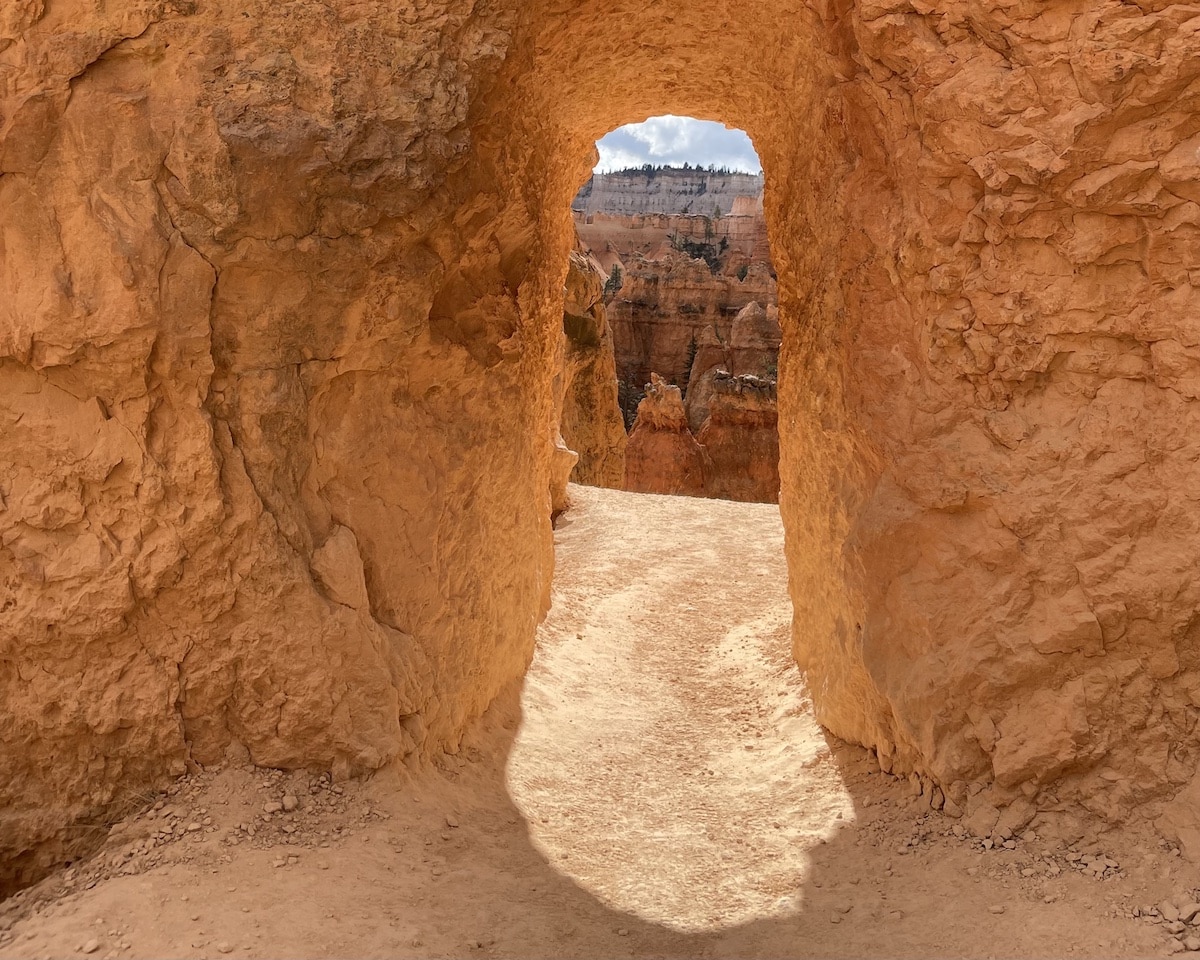
You will get to walk underneath three natural tunnels through hoodoo fins during this hike, the first of which you will encounter just after the Queens Garden. These tunnels are one of my favorite features of this trail. The tunnels are short, and most people squat to walk underneath them. They only require a few strides to walk through.
Mile 2.6 – ET Hoodoo
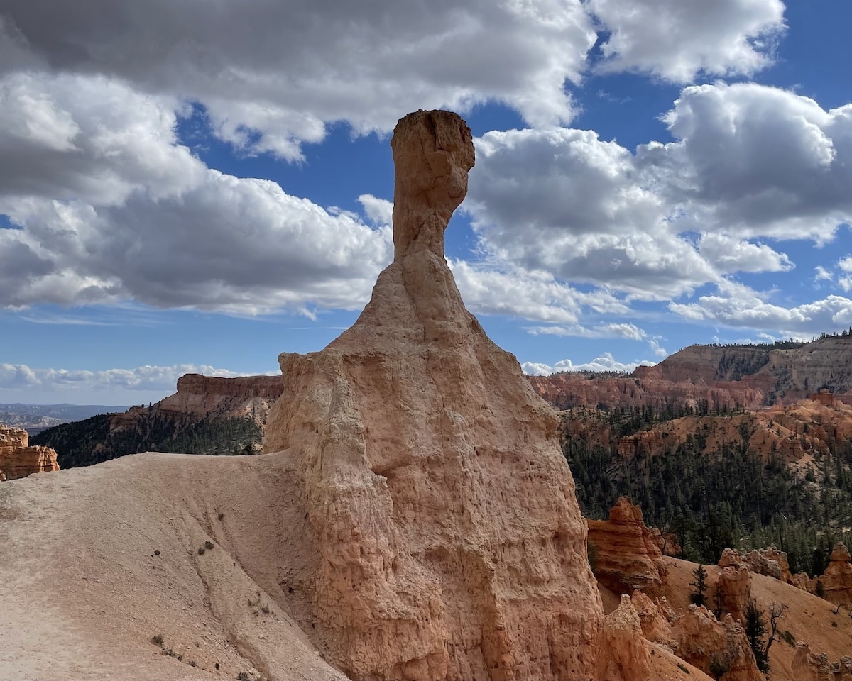
Referencing the famous movie E.T. the Extra-Terrestrial, the ET Hoodoo is a large, white hoodoo known for its unique shape. You will continue to climb uphill from here back to Sunrise Point. This section is most difficult when hiking counterclockwise, so take breaks as needed.
Read next: If you are visiting for multiple days, check out our 8 best hikes in Bryce Canyon National Park.
Short on time? Here are options to shorten the hike:
Tips for Hiking the Navajo Loop and Queens Garden Trail
The Bryce Canyon Navajo Loop and Queens Garden Trail hike is relatively easy to moderate. I recommend it for first-time visitors as a starting point for exploring Bryce Canyon National Park. These tips will help you get the most out of this hike!
Hike the trail counterclockwise
Since the trail forms a loop, you can hike it clockwise or counterclockwise. Some reviews recommend hiking clockwise as you get epic views of the valley while gradually descending the trail from Sunrise Point.
However, I strongly recommend hiking the trail counterclockwise to avoid ending your hike with the steep switchbacks on the Navajo Loop Trail. I saw many hikers of all abilities struggle to ascend these switchbacks and heard them say they wish they would have taken the other direction.
On the other hand, if you have bad knees, you may consider hiking the trail clockwise for this reason, since descending the switchbacks could be hard on your knees.
Preparing for your hike
Practice good trail etiquette
Be courteous to the environment and your fellow hikers by following proper hiking trail etiquette. Hikers going uphill always have the right of way. This is especially important to remember on the steep switchback section of the Navajo Loop trail, as this area tends to get pretty congested with people.
Remember to stay on the designated trail. Although the hoodoos and rocks are pretty, do not touch them. Not only can it cause damage to the formations, it can result in a hefty fine from the National Park Service.
Navajo Loop and Queens Garden Trail Packing List
For a full list of what to pack, check out this list of Day Hiking Essentials.
The main pieces of gear you’ll want for hiking the Navajo Loop and Queens Garden Trail include:
- Daypack with a 3L hydration reservoir. Remember to start your hike with plenty of water since you cannot refill along the trail. You can fill your water at the water-fill station near the restrooms at the Sunset Point parking lot.
- A sun hat such as the Wallaroo Sedona Hat (BFT readers get 20% off with the code “BEARFOOT20”)
- Plenty of sunscreen
- Buff to protect your neck from the sun
- Rain jacket in case of storms
- Hiking snacks to munch on during breaks
- Collapsible trekking poles – these will help relieve strain on your knees on the switchbacks and help you maintain your balance on loose rocks
- Grippy hiking shoes – I recommend hiking boots or shoes with good traction to provide stability
- Traction devices such as MICROspikes if you’re hiking in snowy or icy conditions
READ NEXT
Want to explore Bryce Canyon even more? Check out these resources:
Save this post to Pinterest
Have you hiked the Navajo Loop and Queens Garden Trail in Bryce Canyon National Park? What was your experience like? What tips would you add? Leave a comment below!

