Backpacking the Carter Ledge Loop in New Hampshire
Plan an awesome backpacking trip in New Hampshire’s White Mountains with my Piper Trail and Carter Ledge Loop Guide.
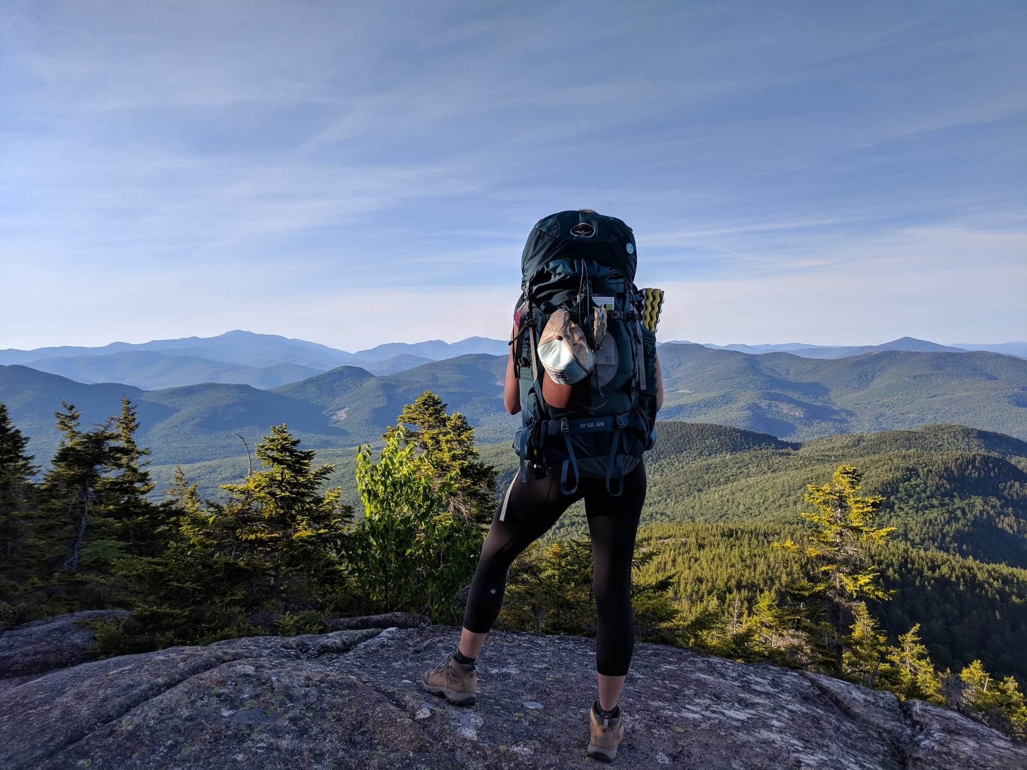
The White Mountains in New Hampshire are home to some of the best hiking and backpacking trails in the east. What makes them so great? They have the largest alpine area east of the Rockies, which means that the views are amazing! The majority of the peaks and ridgelines in the Whites are above treeline, so you can see for miles – it’s spectacular.
One of my favorite treks in the White Mountains is the 8.4-mile Mount Chocorua and Carter Ledge Loop. The views from Mount Chocorua are incredible and since this trail is located in the southern, less popular, area of the Whites, you’re likely to have more solitude.
I’ve hiked the Carter Ledge and Piper Trail Loop several times (once in the womb!), but my favorite way to experience this route is as an overnight by camping at the scenic Camp Penacook Shelter. The views and beautiful pine forest are worth spending two days in the wilderness. In this post, I share my 1-night backpacking trip on the Carter Ledge Loop so you can get out and explore the magic of the White Mountains.
This post may contain affiliate links.
Carter Ledge Loop Basics
Trail Basics
Trail Description
The Carter Ledge Loop starts at the Piper Trailhead in the southern region of the White Mountains. It’s about an hour and a half drive north of Concord and an hour east of Franconia Notch.
Personally, I think this hike has some of the best views in New Hampshire. The summit of Mount Chocorua offers expansive vistas out over the peaks and ridgelines of the Whites and layers of ecosystems the route travels through is equally impressive.
I’ve done this hike a few times, and while most of it is pretty moderate, there are sections that are challenging and demanding with long steep climbs, rough footing, and rock scrambles. But trust me, your hard work will be paid off in full with panoramic vistas of New Hampshire’s spectacular backcountry, alpine hiking, and – if you make it an overnight – a scenic stay at the Camp Penacook Shelter.
Save this post!
Enter your email & I'll send this post to your inbox! You'll also receive my weekly newsletter full of helpful advice for planning your adventures.
Tips for Hiking the Carter Ledge Loop
Whether you’re doing a day hike or an overnight backpacking trip on the Carter Ledge Loop, you’ll need to do some advanced planning. The trail is pretty remote and the length and elevation gain is not to be underestimated.
Carter Ledge Loop Backpacking Guide
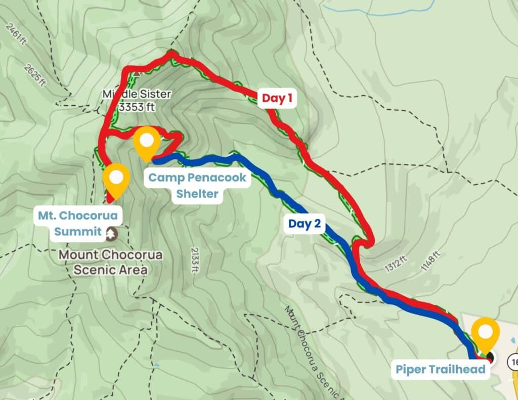
My Itinerary
Day 1: Piper Trailhead to Camp Penacook Shelter
- Distance: 5.8 miles
- Elevation gain: 2,904 feet
Day 2: Camp Penacook Shelter to Piper Trailhead
- Distance: 2.8 miles
- Elevation gain: 69 feet
Piper Trail
The trail starts from the large dirt parking lot at the Piper Trailhead (where you can leave your car overnight). I like how it starts off as a nice wide, flat trail with soft pine needles underfoot. It makes for an easy and welcoming warmup before the trail gets more challenging.
Since Piper Trail is the most direct route to the top of Mt. Chocorua, this is where you’re most likely to encounter the other hikers. But don’t worry, after 1.4 miles you’ll break off Piper Trail to turn right onto Nickerson Ledge Trail and begin the steady climb upward.
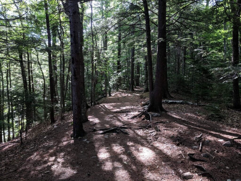
Like much of the area, trail markers are scant and signs can be easy to miss if you aren’t paying attention. While the sign to turn off onto Nickerson Ledge Trail is easy to spot, I’ll admit that on my first time hiking the route, I walked right past it and sadly had to track back a mile. Womp.
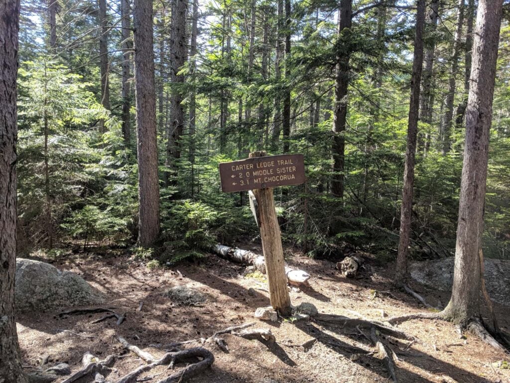
Nickerson Ledge Trail
As you turn onto Nickerson Ledge Trail, continue following the easy, sloping path that eventually becomes steeper before joining up with the beautiful Carter Ledge Trail.
This section of the trail, from Nickerson to Carter Ledge, flip flops between rocky steeps and flat forested pine areas. I found it moderately challenging, especially since I was carrying a heavy pack. It was also tricky to find the right layers – I worked up a sweat climbing over the big boulders and then cooled down on the flat shaded sections.
Carter Ledge Trail
I’ll also admit that at times, the steady vertical gain on Carter Ledge Trail makes it feel like a slog. I found myself stopping often to rest, drink water, and enjoy a snack on the sunny rock slabs. You’ll need energy as you continue up the trail to the first summit.
But… the views are worth the slog. The first vista point will give you a boost!
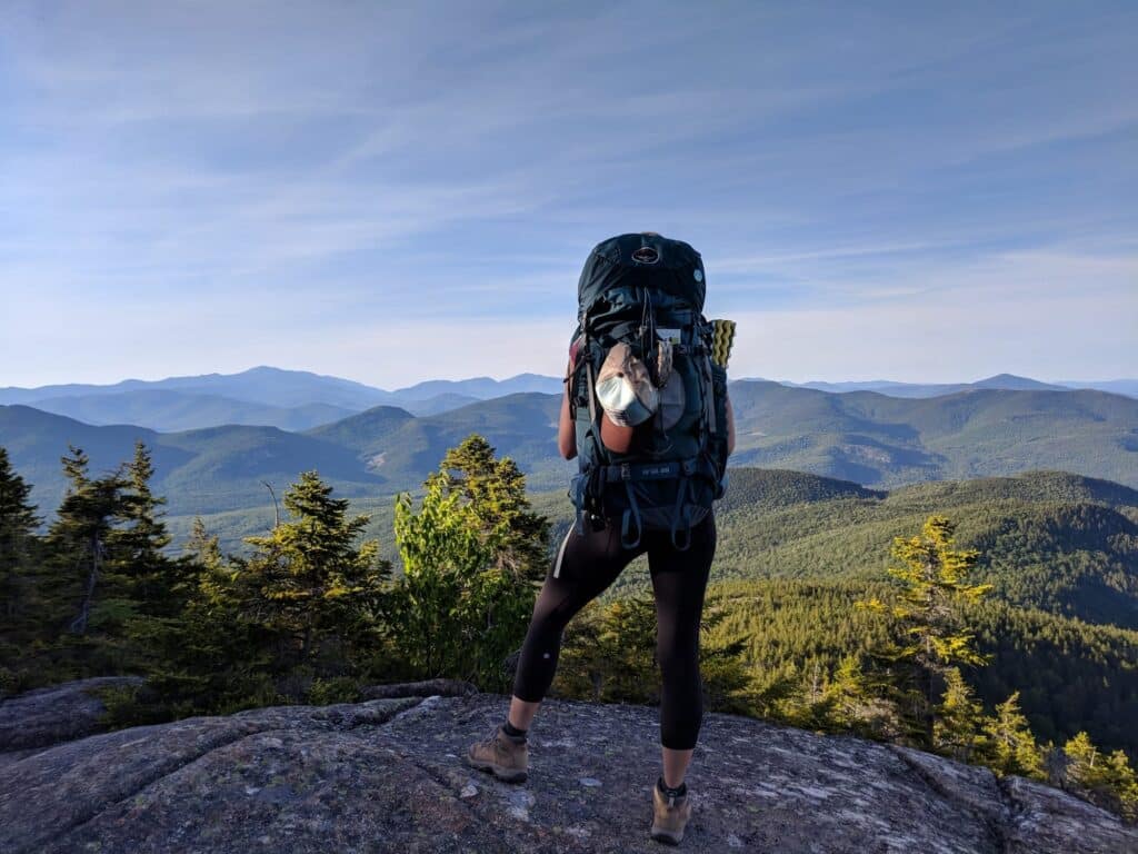
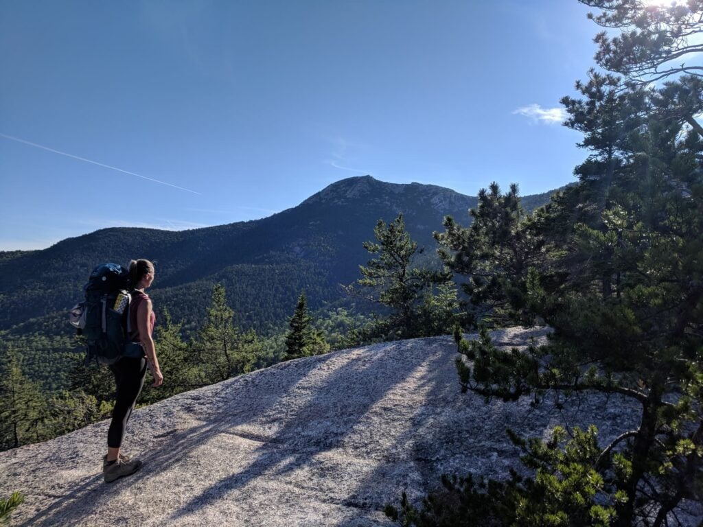
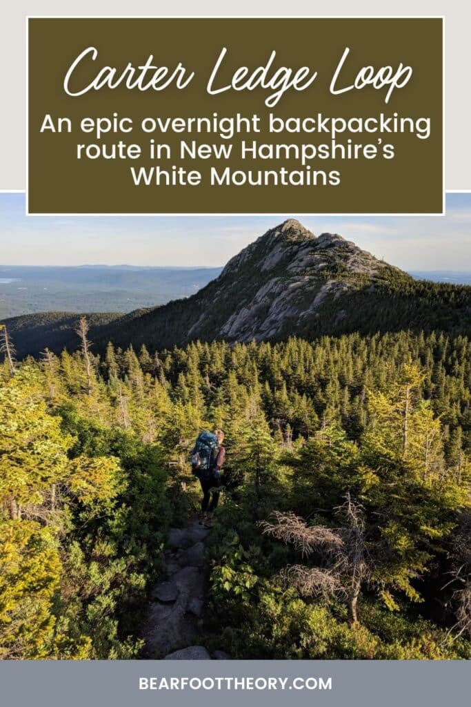
The route continues on Carter Ledge up to Middle Sister, one of three stunning viewpoints along the mile-long Three Sisters ridgeline. From here, everything opens up to reveal a stretch of trail that is all above the tree line with panoramic views of the Whites and Lakes Region on both sides.
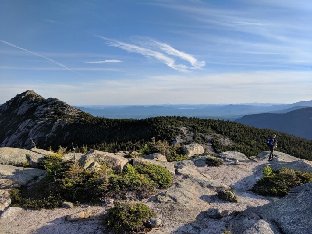
Straight ahead you’ll see the famous Mt. Chocorua towering over all Three Sisters just shy of a mile away from where you stand.
Mt. Chocorua Summit
Hiking to the summit of Mt. Chocorua is optional – the extra mile up and back down is steep and there is some exposure, but the views from the top are worth it!
On my overnight trip, my husband Brian and I made it to the summit just in time for the start of sunset, which painted the mountains in a dreamy soft blue hue and a warm golden glow — by far my favorite thing about the Whites and something worth trying to time just right. The only downside was that it didn’t leave us much time for a proper rest stop, however, the shelter was just a mile and a half away, so we didn’t mind the hustle.
Tip: if you start your hike too late in the day to summit Mt. Chocorua, I recommend hiking the loop clockwise instead. That way, you can catch the sunrise on Mt. Chocorua in the morning.
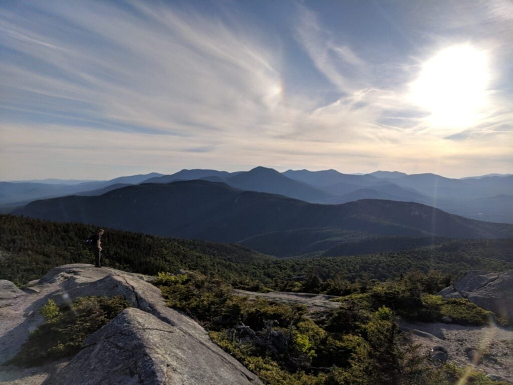
Piper Trail to Camp Penacook Shelter
Whether you decide to hike to the summit of Mt. Chocorua or not, you’ll continue the loop on Piper Trail to Camp Penacook Shelter. If you’re camping overnight, don’t miss the connecting trail that takes you to the shelter! You’ll see a small sign that says “shelter” about 1.5 miles down the Piper Trail.
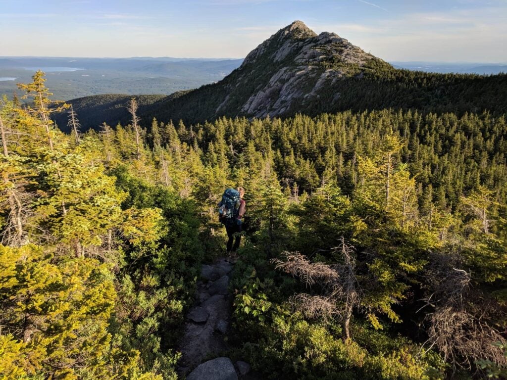
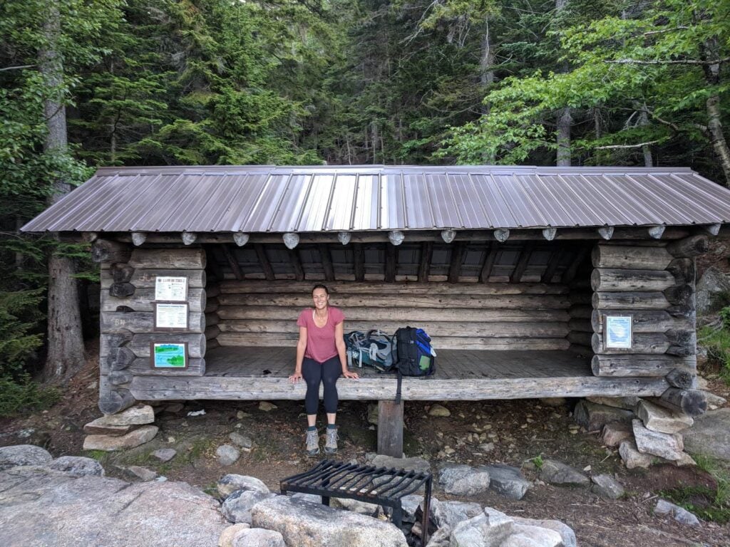
Camp Penacook is a 3-sided shelter with a campfire ring, beautiful views, and a platform behind to accommodate additional campers if the shelter is full.
We lucked out with the weather and got to experience the sunset and sunrise from our tent in the shelter which we, fortunately, had all to ourselves during our mid-week trip.
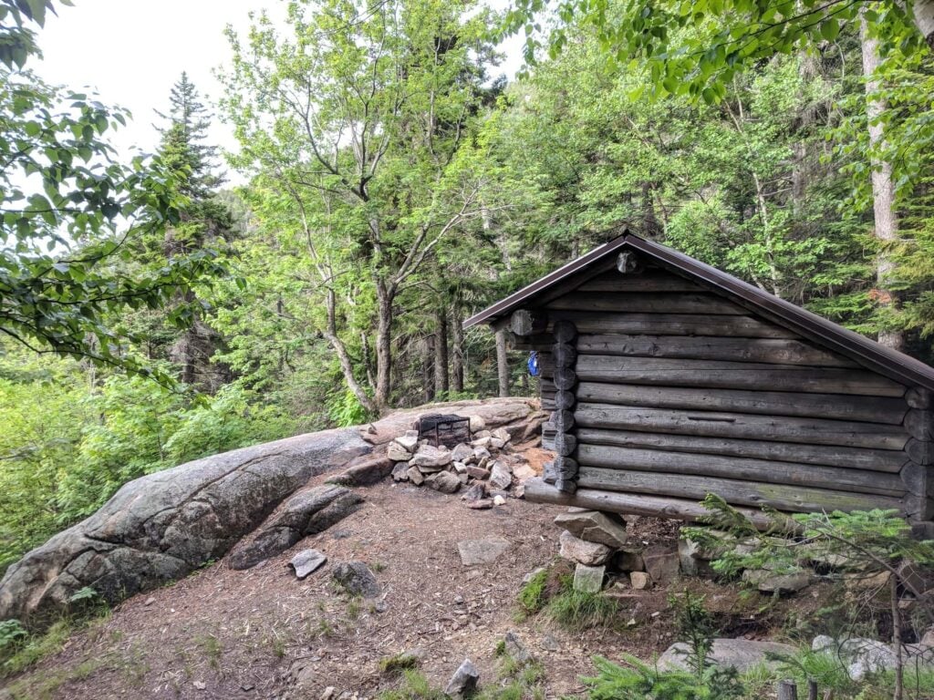
The Camp Penacook shelter was clean and well maintained when we were there, due in large part to campers doing their part to keep it that way. Make sure you pack all your belongings out including food and trash. And, as always remember the principles of Leave No Trace. Read the signs on the sides of the shelter to learn more about what is permitted and what is not.
Camp Penacook Shelter to the trailhead
The hike back down to the parking lot from the shelter is fairly easy and quick. Simply pack up camp and get back onto the Piper Trail for 3 miles until you reach the trailhead. But, make sure to take your time and enjoy the beautiful backcountry of Whites on your way back down!
Frequently Asked Questions
The best time to backpack the Carter Ledge loop trail is during the summer and fall when the views are either lush, green mountains or that famous New England foliage.
I highly recommend trying to go mid-week to avoid the crowds since the Piper Trail to Mount Chocorua is a popular out-and-back (although not as busy as Franconia Notch!).
Tip: Start your hike in the early afternoon so you can catch the sunset, but still avoid hiking in the dark.
I’d say overall, the Carter Ledge Loop is a moderate hike, but there are definitely some challenging sections with steep climbs and rugged terrain. Also, the full loop is 8.4 miles with nearly 3,000 feet of elevation gain, which is a long hike regardless of your fitness and experience. Keep that in mind if you plan on doing this as a day hike.
To make it easier, you can skip the climb to the summit of Mt. Chocorua, but you’ll be missing out on some great views!
The Camp Penacook Shelter is where I like to stay when I’m doing an overnight on the Carter Ledge Loop. It’s located about 1.5 miles from the summit of Mt. Chocorua off the Piper Trail.
The shelter is 3-sided (so it’s more like a lean-to) and it can fit 6-8 people. There’s also a pit toilet close by, but no water. Learn more about the Camp Penacook Shelter.
If you prefer a more established campground, the White Ledge Campground is located at the start of the Carter Trail. If you camp here, though, it’s an 8.5-mile roundtrip hike to the summit of Mt. Chocorua.
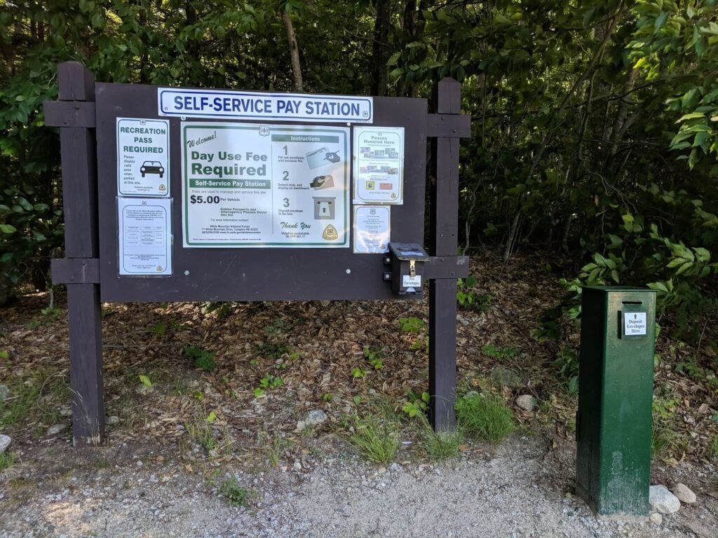
No, you do not need a permit to do a day hiker or overnight trip on the Carter Ledge Loop. However, there is a $5 day-use fee (see more on this below).
There are no major water sources along the Carter Ledge Loop, so you’ll need to carry plenty with you. Depending on the time of year, you may find seasonal water, so pack a small water filter.
The trails are well-marked, but you’ll still need some form of navigation like a GPS hiking app downloaded to your phone or paper maps of the area.
More New Hampshire Adventures
Save this post to Pinterest
Have you hiked the Carter Ledge Loop? Did you make it to the summit of Mount Chocorua? What questions do you still have? Share your comments below!


Thanks Katherine for writing this. My back and knees don’t readily allow for overnight backpacking so I frequently do the Piper to Carter Ledge to Middle sister to Chocorua and back to Piper via Hammond and Weetamoo in a long day. I think over the years I’ve done this in almost every month of the year and it’s nothing short of one of the best hikes in the White Mountains – nowadays it takes me a lot longer than it used to! There’s something very peaceful about the Nickerson and Carter Ledge trails. Thanks again.
Thanks for reading, Tim!
Just hiked it today for the 3rd time… finishing the AT next month, 2 States to go… you’d think w/ the lousy 5.00, they would re-paint the yellow blazes, and ad more. The driveway going in there has pot holes extremely deep. Forest people must not hike I guess. Lazy.