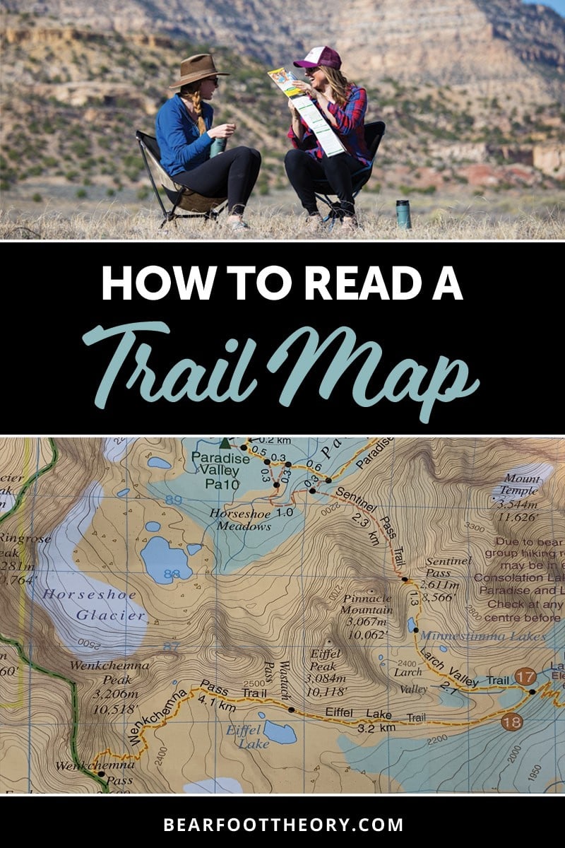
How to Read A Topographic Map
Trail map reading for hikers. Learn key features & tips for how to read a topographic map to help you navigate and understand contour lines on the trail.
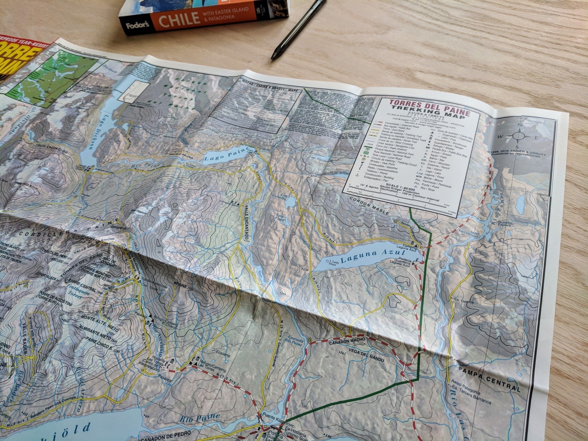
The first time I analyzed a topographic map was when I was planning my first big multi-day backpacking trip – the Rae Lakes Loop in Kings Canyon National Park. We would be backpacking for 5 days, and I needed to carefully plan out our route and campsites. As our trip leader, it was time for me to take charge and really learn how to read a topographic map.
If you’ve ever taken a look at a trail map and wondered what those lines, symbols, and colors could possibly mean, you’re certainly not the only one. When I decided to start studying up on my maps and doing some research on the topic I realized it’s not as complicated as you might think…it’s actually, dare I say, pretty fun. Overall, it makes me feel like a more confident outdoorswoman, and it is truly something that I’m glad I took the time to learn more about.
Ready to start navigating? Here’s your guide on how to read a topographic map when you are planning a hike.
This post may contain affiliate links.
What are contour lines on a topographic map & how do you read them?
On a trail map, contour lines are the concentric lines that you see on a map’s surface. They explain the elevation and shape of the region that’s being depicted on your map and are extremely useful for any hiker planning a trip. Reading and interpreting contour lines may seem intimidating at first, but it’s actually quite simple and is a valuable skill for learning to how to read a topographic map.
To read the contour lines on a map, first note the direction your map faces. Most maps are oriented with north at the top of the map.
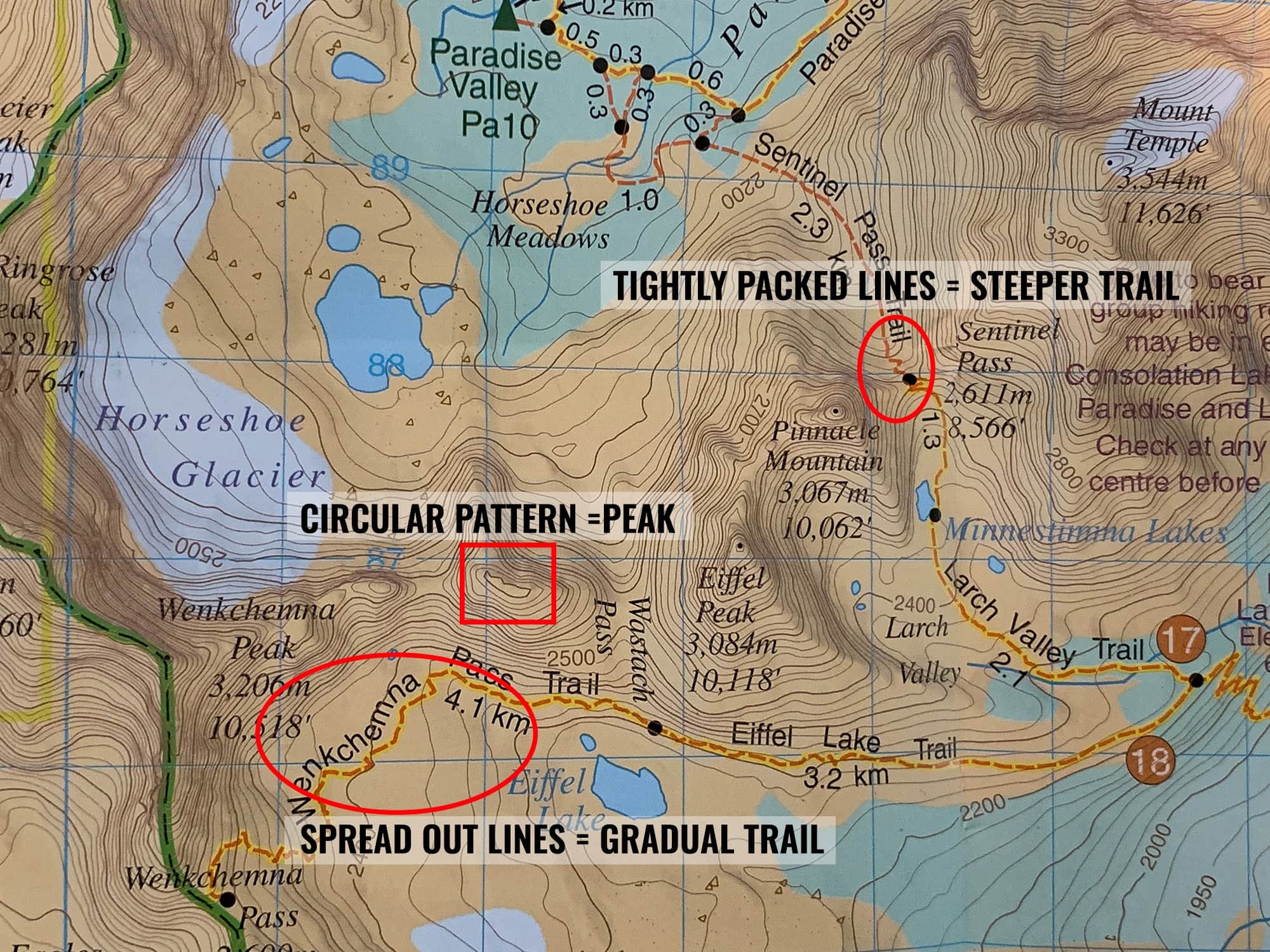
The first step in understanding contour lines is to check out your map’s legend to see what your contour interval is. A contour interval is the vertical distance in elevation between two contour lines. Most maps have an interval between 25 and 100 feet depending on your map’s scale (ie how zoomed in your map is to an area), and you can find this on your map’s legend.
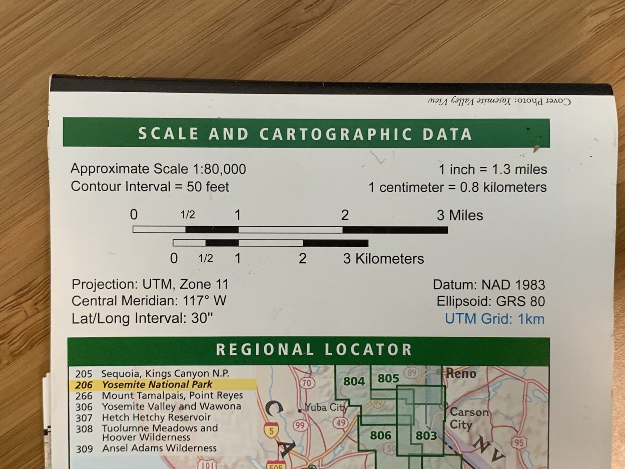
This is from a National Geographic Yosemite Map where the contour interval is 50 feet.
On topographic maps, every fifth contour line is in bold (called an “Index Line”), where you’ll find the elevation indicated.
When planning out a hike, one of the most important things to pay attention to is how close the contour lines are spaced.
- Tightly packed contour lines = steep increase or decrease in elevation = STEEP TERRAIN
- Spread out contour lines = gradual increase or decrease in elevation = MELLOW TERRAIN
The closer the lines are together on a trail you are hiking, the more difficult your ascent or descent will be.
Another good trick that I learned about reading contour lines is to picture circles drawn around a tennis ball from the middle up to the top. As you get higher, the circles would inevitably become smaller and closer together to indicate the highest point of the ball. The same is true when you are learning how to read a topographic map. When you find a closed circle, it generally indicates the top of a mountain peak, as shown in the image below.
Being able to identify peaks on a topographic map is important because if you are lost, you can try to find yourself by looking at nearby peaks and identifying them on the map.
Save this post!
Enter your email & I'll send this post to your inbox! You'll also receive my weekly newsletter full of helpful advice for planning your adventures.
What Is the Scale of a Map?
Since a map can’t possibly show you the exact size of a place, it uses a scale as a way to provide context for the relative distance that is being represented on the map. In the legend, you can easily locate the information you need to know what the map’s relative distance is equal to in reality. For instance, in the legend shown above, it shows the following:
Scale 1: 80,000 (1 inch = 1.3 mile)
This clearly explains that every inch I see on my map represents 1.3 miles in real life. Simple!
The size of the map’s region is also an important factor in calculating and understanding the scale. This is because the scale of a map depends largely upon how big or small of an area the map shows. If I’m planning a hike in detail, maps with a smaller scale are more helpful since they show more detail.
Naturally, there are pros and cons to both small and large maps, so it really just depends on your goal. One helpful tool to remedy this problem that the map provides is also found in the legend. You’ve probably noticed this small representative scale in black and white that shows the relative distance in miles and kilometers. You can easily use the edge of your compass, or another object such as a piece of string to calculate distance and plan your route efficiently.
What Do the Colors on a Map Represent?
Take one quick glance at your map and you’ll notice that it has a myriad of colors in many shades or none at all. Color plays an important role in describing the terrain that is represented on your map. An area with darker coloring shows denser vegetation and becomes lighter in areas such as mountaintops where there is less growth. In blue, you’ll see a body of water like rivers, lakes, streams, oceans, and ponds.
My Favorite Navigation Tools
We always suggest carrying a trail map with you in case technology fails. However, in addition to knowing how to read a topographic map, there are a few other tools and gear we find helpful.
Gaia GPS App
I love the Gaia GPS App and you can save at least 20% on an annual membership when you sign up here. Looking for other apps? Here is a list of my favorite trail finder apps.

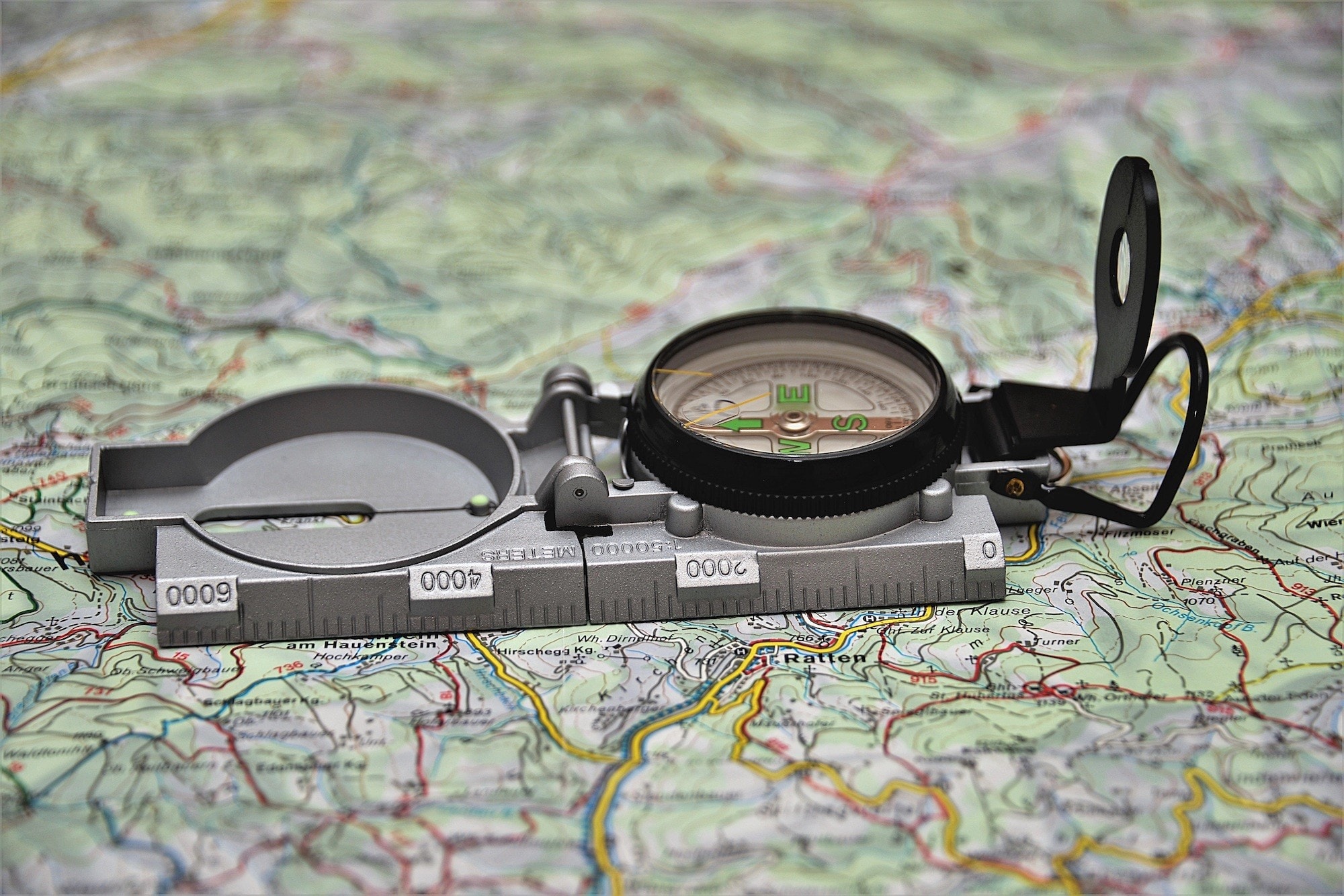
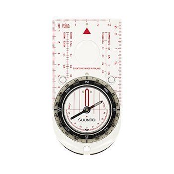
Compass
A map doesn’t do you much good if you can’t figure out what direction you are facing. This is a lightweight Suunto compass that you can also use to measure map distances. This Northern Hemisphere version is good value for the price.
Hope this blog post gives you more confidence in the basics of how to read a topographic map. Got questions? Leave a comment below.
This is a GREAT post – and I’m going to share with my readers as well – its fantastic and so easy to understand! Thank you!